
CHERBOURG
Contributing agency

Station summaryHEAU


| IGS-type acronym : | HEAU |
| Latitude : | 49.58066000 |
| Longitude : | -1.77796400 |
| Installed date : | 2002-10-31 |
| Decommissioned date : | 2014-10-08 |
| Country : | FRANCE |
| City: | CHERBOURG |
| Station status : | Decommissioned (white and red cross) |
| Distance to Tide Gauge (m) : | 12931 |
| Domes Nr.: | 10055M004 |
| Station operator: | Unknown |
| IGS-like station form : |
GPS position times seriesHEAU
Position
(Reference epoch: )
(Reference epoch: )
Offsets (mm)
| M | Material change or malfunction |
| E | Earthquake |
| RF | Reference Frame change |
| U | Unknown |
| NA | Not available |
| Position discontinuity | |
| Velocity discontinuity |
Data available at SONELHEAU
Quality plots on RINEX filesHEAU
 |
 |
Plots generated using software developed with the EPN team at ROB |
| Observations & tracking performance | Satellite tracking |
 (this operation may take 20 to 45s)
The satellite tracking graph has been calculated for all stations for the first day of each month. If you wish to have a graph for another date, choose the 'Calculate a specific date' option.
Comparison with satellite altimetry data
- Link to Sea Level Differences (Satellite altimetry minus tide gauge data).
Co-located instrumentsHEAU
- Tide gauge : CHERBOURG (CHERB)
- GPS : Beaumont Hague (BMHG)
- GPS : CHTG (CHTG)
Leveling & DatumsHEAU
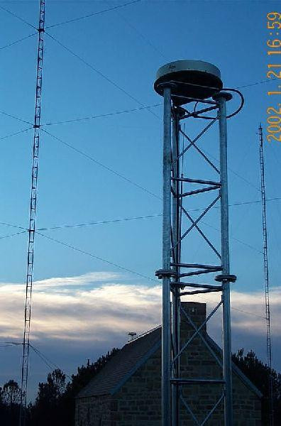
Photo albumHEAU
History of the stationHEAU
Station en arrêt-définitif depuis le 08/10/2014 d’après les sources au RGP


