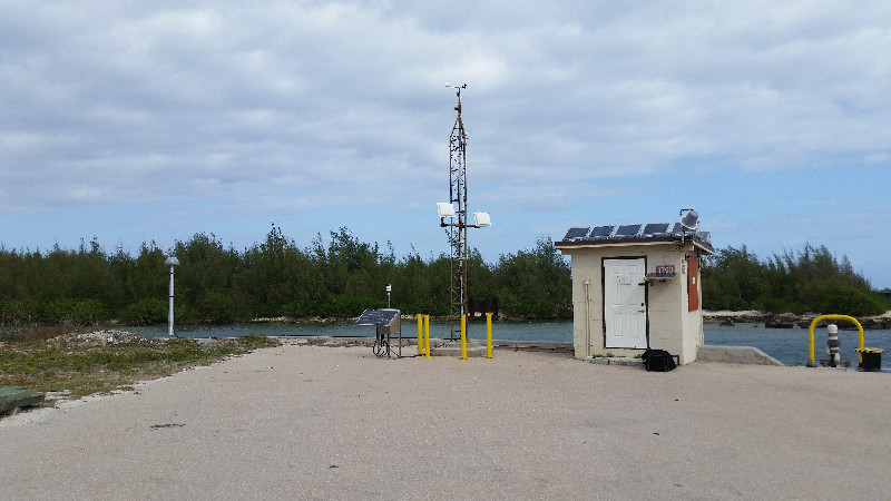
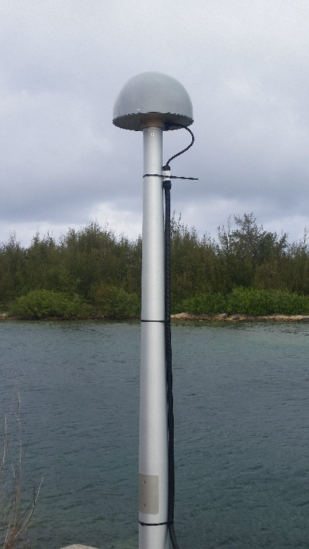
WAKE ISLAND
Station summaryWQSL


| IGS-type acronym : | WQSL |
| Latitude : | 19.29053056 |
| Longitude : | 166.61742222 |
| Installed date : | 2016-04-04 |
| Decommissioned date : | |
| Country : | U.S.A. |
| City: | WAKE ISLAND |
| Station status : | No data for 30 days (orange) |
| Distance to Tide Gauge (m) : | 32 |
| Domes Nr.: | 49293M001 |
| Station operator: |
Jon Avery
(PGF) - Pacific GPS Facility - Hawaii Institute of Geophysics and Planetology - University of Hawaii at Manoa |
| IGS-like station form : |
GPS position times seriesWQSL
Position
(Reference epoch: )
(Reference epoch: )
Offsets (mm)
| M | Material change or malfunction |
| E | Earthquake |
| RF | Reference Frame change |
| U | Unknown |
| NA | Not available |
| Position discontinuity | |
| Velocity discontinuity |
Data available at SONELWQSL
Quality plots on RINEX filesWQSL
 |
 |
Plots generated using software developed with the EPN team at ROB |
| Observations & tracking performance | Satellite tracking |
 (this operation may take 20 to 45s)
The satellite tracking graph has been calculated for all stations for the first day of each month. If you wish to have a graph for another date, choose the 'Calculate a specific date' option.
Comparison with satellite altimetry data
- Link to Sea Level Differences (Satellite altimetry minus tide gauge data).
Co-located instrumentsWQSL
- Tide gauge : WAKE ISLAND (WAISL)
Photo albumWQSL