
MALDIVES
Station summaryMALD


| IGS-type acronym : | MALD |
| Latitude : | 4.18870020 |
| Longitude : | 73.52629852 |
| Installed date : | 1999-08-12 |
| Decommissioned date : | 2006-06-11 |
| Country : | REPUBLIC OF MALDIVES |
| City: | MALE AIRPORT |
| Station status : | Decommissioned (white and red cross) |
| Distance to Tide Gauge (m) : | 5 |
| Domes Nr.: | 22901S001 |
| Station operator: | Unknown |
| IGS-like station form : |
GPS position times seriesMALD
Position
(Reference epoch: )
(Reference epoch: )
Offsets (mm)
| M | Material change or malfunction |
| E | Earthquake |
| RF | Reference Frame change |
| U | Unknown |
| NA | Not available |
| Position discontinuity | |
| Velocity discontinuity |
Data available at SONELMALD
Quality plots on RINEX filesMALD
 |
 |
Plots generated using software developed with the EPN team at ROB |
| Observations & tracking performance | Satellite tracking |
 (this operation may take 20 to 45s)
The satellite tracking graph has been calculated for all stations for the first day of each month. If you wish to have a graph for another date, choose the 'Calculate a specific date' option.
Comparison with satellite altimetry data
- Link to Sea Level Differences (Satellite altimetry minus tide gauge data).
Co-located instrumentsMALD
- Doris : MALE (MALB)
- Tide gauge : MALE-B, HULULE (MALDM)
- GPS : Male Met Office Male, Maldives (HULE)
- GPS : Male (MALE)
Leveling & DatumsMALD
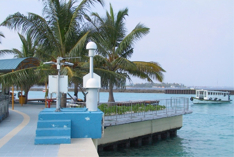
Photo albumMALD
BibliographyMALD
If you have a relevant reference to suggest, please send-us an e-mail : sonel@sonel.org-
 Fagard, 2005. Installation de la station DORIS de Malé (Maldives). Compte rendu IGN, CR/G 196.


