
KINGSHILL
Station summary


Links to data sources

Comparison with satellite altimetry data
- Link to Sea Level Differences (Satellite altimetry minus tide gauge data).
Co-located instrumentsVIKTG
- GPS : Kingshill (VIKH)
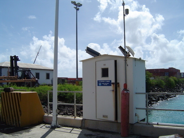
Photo albumVIKTG
BibliographyVIKTG
If you have a relevant reference to suggest, please send-us an e-mail : sonel@sonel.org-
 Yang, Wang et al., 2016. GPS geodetic infrastructure for natural hazards study in the Puerto Rico and Virgin Islands region.. Natural Hazards.


