
CHARLOTTE AMALIE
Station summaryVITH


| IGS-type acronym : | VITH |
| Latitude : | 18.34333100 |
| Longitude : | -64.96921400 |
| Installed date : | 2006-08-09 |
| Decommissioned date : | |
| Country : | U.S. VIRGIN ISLANDS (USA) |
| City: | CHARLOTTE AMALIE |
| Station status : | active (green) |
| Distance to Tide Gauge (m) : | 5282 |
| Domes Nr.: | |
| Station operator: | (UVI) - University of the Virgin Islands |
| IGS-like station form : |
GPS position times seriesVITH
Position
(Reference epoch: )
(Reference epoch: )
Offsets (mm)
| M | Material change or malfunction |
| E | Earthquake |
| RF | Reference Frame change |
| U | Unknown |
| NA | Not available |
| Position discontinuity | |
| Velocity discontinuity |
Data available at SONELVITH
Quality plots on RINEX filesVITH
 |
 |
Plots generated using software developed with the EPN team at ROB |
| Observations & tracking performance | Satellite tracking |
 (this operation may take 20 to 45s)
The satellite tracking graph has been calculated for all stations for the first day of each month. If you wish to have a graph for another date, choose the 'Calculate a specific date' option.
Comparison with satellite altimetry data
- Link to Sea Level Differences (Satellite altimetry minus tide gauge data).
Co-located instrumentsVITH
- Tide gauge : CHARLOTTE AMALIE (STVTG)
- GPS : St. Thomas (STVI)
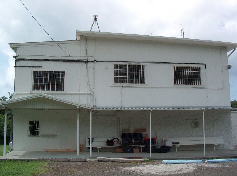
Photo albumVITH
BibliographyVITH
If you have a relevant reference to suggest, please send-us an e-mail : sonel@sonel.org-
 Yang, Wang et al., 2016. Comparisons of ground based and building based CORS: a case study in the region of Puerto Rico and the Virgin Islands. Journal of Surveying Engineering.


