
HILLARYS
Station summaryHIL1

GNSS-IR


| IGS-type acronym : | HIL1 |
| Latitude : | -31.82550000 |
| Longitude : | 115.73860000 |
| Installed date : | 1997-06-06 |
| Decommissioned date : | |
| Country : | AUSTRALIA |
| City: | HILLARYS |
| Station status : | No data for 30 days (orange) |
| Distance to Tide Gauge (m) : | 2 |
| Domes Nr.: | 50141S001 |
| Station operator: | Unknown |
| IGS-like station form : |
GPS position times seriesHIL1
Position
(Reference epoch: )
(Reference epoch: )
Offsets (mm)
| M | Material change or malfunction |
| E | Earthquake |
| RF | Reference Frame change |
| U | Unknown |
| NA | Not available |
| Position discontinuity | |
| Velocity discontinuity |
Data available at SONELHIL1
Quality plots on RINEX filesHIL1
 |
 |
Plots generated using software developed with the EPN team at ROB |
| Observations & tracking performance | Satellite tracking |
 (this operation may take 20 to 45s)
The satellite tracking graph has been calculated for all stations for the first day of each month. If you wish to have a graph for another date, choose the 'Calculate a specific date' option.
Comparison with satellite altimetry data
- Link to Sea Level Differences (Satellite altimetry minus tide gauge data).
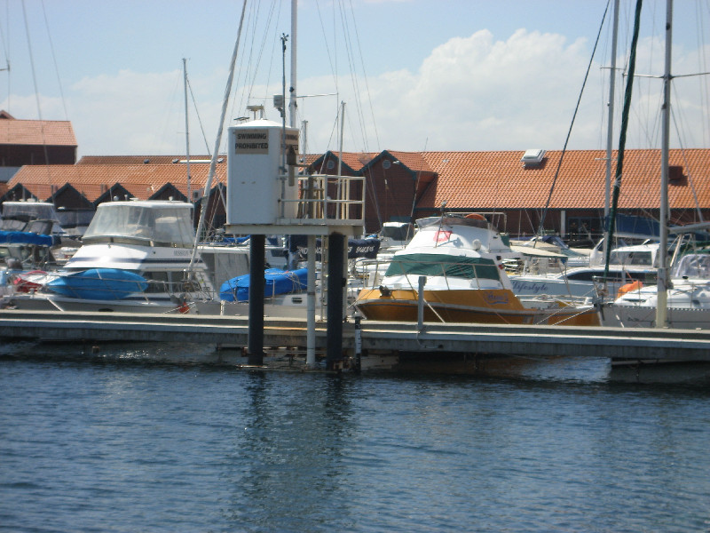
Co-located instrumentsHIL1
- Tide gauge : HILLARYS (HILAR)
Leveling & DatumsHIL1
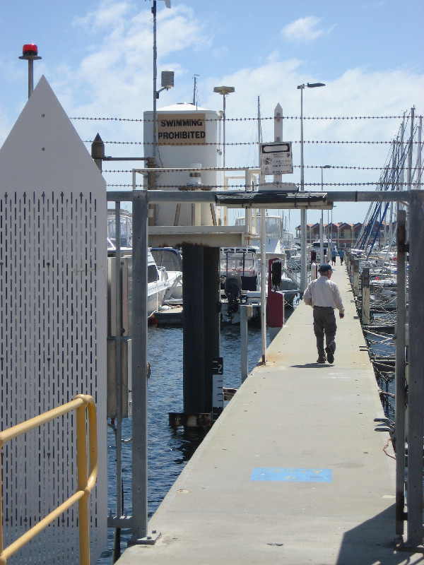
Photo albumHIL1
BibliographyHIL1
If you have a relevant reference to suggest, please send-us an e-mail : sonel@sonel.org-
 Featherstone, Penna et al., 2015. Nonlinear subsidence at Fremantle, a long-recording tide gauge in the Southern Hemisphere. Geophysical Research Letters.

-
Featherstone, Filmer et al., 2012. Anthropogenic land subsidence in the Perth Basin: challenges for its retrospective geodetic detection. Journal of the Royal Society of Western Australia.
-
Filmer, Williams et al., 2020. An experiment to test satellite radar interferometry-observed geodetic ties to remotely monitor vertical land motion at tide gauges. Global and Planetary Change.
-
Parker, Featherstone et al., 2017. Practical Considerations before Installing Ground-Based Geodetic Infrastructure for Integrated InSAR and cGNSSMonitoring of Vertical Land Motion. Sensors.


