
CORFU
Station summaryKASI


| IGS-type acronym : | KASI |
| Latitude : | 39.74636807 |
| Longitude : | 19.93554326 |
| Installed date : | 2007-04-01 |
| Decommissioned date : | |
| Country : | GREECE |
| City: | CORFU |
| Station status : | No data for 30 days (orange) |
| Distance to Tide Gauge (m) : | 13441 |
| Domes Nr.: | 12627M001 |
| Station operator: | Unknown |
| IGS-like station form : |
GPS position times seriesKASI
Position
(Reference epoch: )
(Reference epoch: )
Offsets (mm)
| M | Material change or malfunction |
| E | Earthquake |
| RF | Reference Frame change |
| U | Unknown |
| NA | Not available |
| Position discontinuity | |
| Velocity discontinuity |
Data available at SONELKASI
Quality plots on RINEX filesKASI
 |
 |
Plots generated using software developed with the EPN team at ROB |
| Observations & tracking performance | Satellite tracking |
 (this operation may take 20 to 45s)
The satellite tracking graph has been calculated for all stations for the first day of each month. If you wish to have a graph for another date, choose the 'Calculate a specific date' option.
Co-located instrumentsKASI
- Tide gauge : CORFU CITY (CORTG)
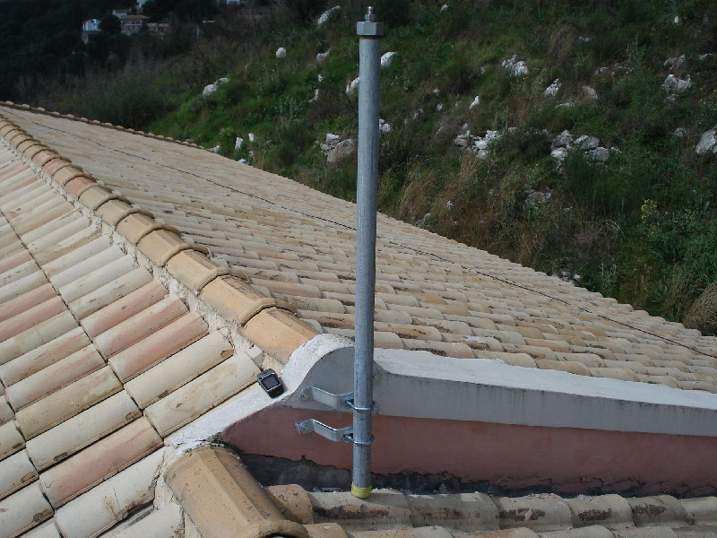
Photo albumKASI
Log bookKASI
[IGSMAIL-7267] - 2016-03-09 (15/03/2016)
A major power outage is planned at KASI from March 11, 08:00 (UTC) to March 12, 07:00 (UTC).
The KASI GDC will not be available during that time.


