
QUARRY BAY
Contributing agency

Station summaryHKSC


| IGS-type acronym : | HKSC |
| Latitude : | 22.32217076 |
| Longitude : | 114.14119180 |
| Installed date : | 2002-12-01 |
| Decommissioned date : | |
| Country : | HONG KONG |
| City: | QUARRY BAY |
| Station status : | active (green) |
| Distance to Tide Gauge (m) : | 6540 |
| Domes Nr.: | 23014M001 |
| Station operator: | (LD-HK) - Lands Department - Hong-Kong |
| IGS-like station form : |
GPS position times seriesHKSC
Position
(Reference epoch: )
(Reference epoch: )
Offsets (mm)
| M | Material change or malfunction |
| E | Earthquake |
| RF | Reference Frame change |
| U | Unknown |
| NA | Not available |
| Position discontinuity | |
| Velocity discontinuity |
Data available at SONELHKSC
Quality plots on RINEX filesHKSC
 |
 |
Plots generated using software developed with the EPN team at ROB |
| Observations & tracking performance | Satellite tracking |
 (this operation may take 20 to 45s)
The satellite tracking graph has been calculated for all stations for the first day of each month. If you wish to have a graph for another date, choose the 'Calculate a specific date' option.
Co-located instrumentsHKSC
- GPS : QUARRY BAY (HKQT)
- Tide gauge : QUARRY BAY (QBATG)
- Tide gauge : NORTH POINT (NPTTG)
- Tide gauge : TAI MIU WAN (TMWAN)
- GPS : Obelisk Hill (HKOH)
- GPS : TCHK gps (TCHK)
- GPS : HONG KONG 1 (HKO1)
Leveling & DatumsHKSC
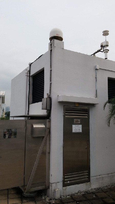
Photo albumHKSC
BibliographyHKSC
If you have a relevant reference to suggest, please send-us an e-mail : sonel@sonel.org-
 Zhou, Liu et al., 2021. Seasonal Variation of GPS-Derived the Principal Ocean Tidal Constituents’ Loading Displacement Parameters Based on Moving Harmonic Analysis in Hong Kong. Remote Sensing.


