
RAFINA
Station summaryNOA1


| IGS-type acronym : | NOA1 |
| Latitude : | 38.04706389 |
| Longitude : | 23.86403333 |
| Installed date : | 2006-03-13 |
| Decommissioned date : | |
| Country : | GREECE |
| City: | RAFINA |
| Station status : | No data for 30 days (orange) |
| Distance to Tide Gauge (m) : | 12018 |
| Domes Nr.: | 12620M001 |
| Station operator: | Unknown |
| IGS-like station form : |
GPS position times seriesNOA1
Position
(Reference epoch: )
(Reference epoch: )
Offsets (mm)
| M | Material change or malfunction |
| E | Earthquake |
| RF | Reference Frame change |
| U | Unknown |
| NA | Not available |
| Position discontinuity | |
| Velocity discontinuity |
Data available at SONELNOA1
Quality plots on RINEX filesNOA1
 |
 |
Plots generated using software developed with the EPN team at ROB |
| Observations & tracking performance | Satellite tracking |
 (this operation may take 20 to 45s)
The satellite tracking graph has been calculated for all stations for the first day of each month. If you wish to have a graph for another date, choose the 'Calculate a specific date' option.
Co-located instrumentsNOA1
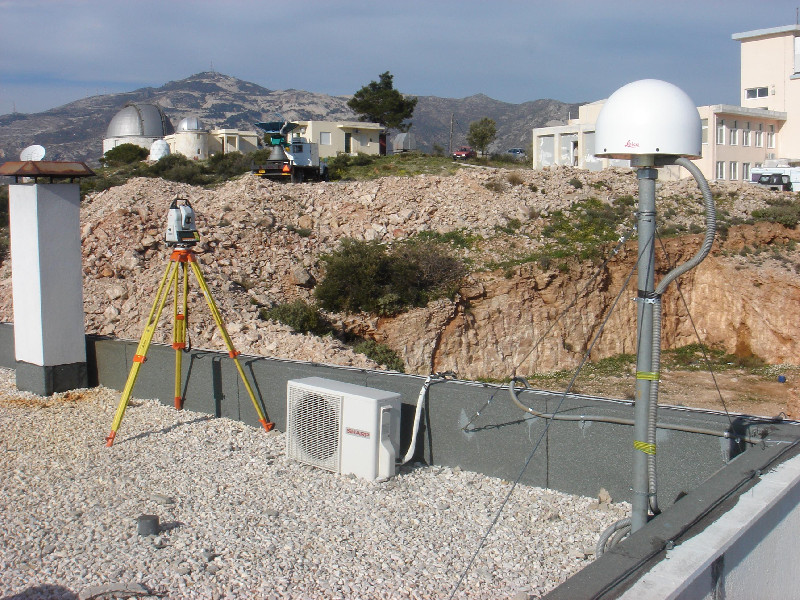
Photo albumNOA1
Log bookNOA1
[EUREFmail-8708] - 2016-09-05 (16/11/2016)
Station NOA1 is back online and logging since 249l.2016.
Data in between 240i - 249l have been lost. Sorry for this inconvenience.
In addition, the receiver firmware has been upgraded to V9.20. A new station
log will be submitted to EPN.
[EUREFmail-8687] - 2016-08-30 (30/08/2016)
NOA1 station suffered equipment damage on Saturday August 27, 2016 (during
hour 240j).
The receiver was removed for local repair. No data are available since that
time.
I will notify again when the station will be online.


