
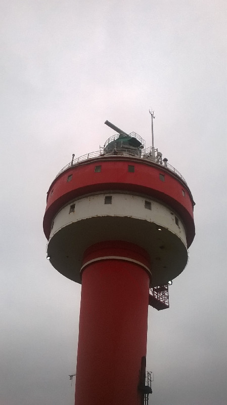
LIGHTHOUSE ALTE WESER
Contributing agency

Station summaryTGAW


| IGS-type acronym : | TGAW |
| Latitude : | 53.86322400 |
| Longitude : | 8.12766400 |
| Installed date : | 2017-09-27 |
| Decommissioned date : | |
| Country : | GERMANY |
| City: | WESER |
| Station status : | No data for 30 days (orange) |
| Domes Nr.: | |
| Station operator: | (BAFG) - Bundesanstalt für Gewässerkunde |
| IGS-like station form : |
GPS position times seriesTGAW
Position
(Reference epoch: )
(Reference epoch: )
Offsets (mm)
| M | Material change or malfunction |
| E | Earthquake |
| RF | Reference Frame change |
| U | Unknown |
| NA | Not available |
| Position discontinuity | |
| Velocity discontinuity |
Data available at SONELTGAW
Quality plots on RINEX filesTGAW
 |
 |
Plots generated using software developed with the EPN team at ROB |
| Observations & tracking performance | Satellite tracking |
 (this operation may take 20 to 45s)
The satellite tracking graph has been calculated for all stations for the first day of each month. If you wish to have a graph for another date, choose the 'Calculate a specific date' option.
Co-located instrumentsTGAW
- GPS : LIGHTHOUSE ALTE WESER (LHAW)
- Tide gauge : LIGHTHOUSE ALTE WESER (LAWTG)
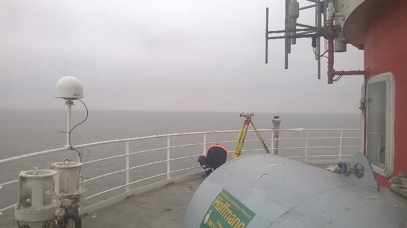
Photo albumTGAW
BibliographyTGAW
If you have a relevant reference to suggest, please send-us an e-mail : sonel@sonel.org-
 Esselborn, Schöne et al., 2022. Validation of Recent Altimeter Missions at Non-Dedicated Tide Gauge Stations in the Southeastern North Sea. Remote Sensing.


