
ANTOFAGAST
Station summaryANTF


| IGS-type acronym : | ANTF |
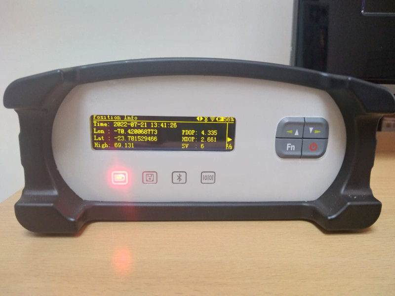
| Latitude : | -23.70200000 |
| Longitude : | -70.42000000 |
| Installed date : | 2022-07-22 |
| Decommissioned date : | |
| Country : | CHILE |
| City: | ANTOFAGASTA |
| Station status : | active (green) |
| Distance to Tide Gauge (m) : | 5666 |
| Domes Nr.: | 41780M001 |
| Station operator: | (UANTOF) - Universidad de Antofagasta |
| IGS-like station form : |
Data available at SONELANTF
Quality plots on RINEX filesANTF
 |
 |
Plots generated using software developed with the EPN team at ROB |
| Observations & tracking performance | Satellite tracking |
 (this operation may take 20 to 45s)
The satellite tracking graph has been calculated for all stations for the first day of each month. If you wish to have a graph for another date, choose the 'Calculate a specific date' option.
Comparison with satellite altimetry data
- Link to Sea Level Differences (Satellite altimetry minus tide gauge data).
Co-located instrumentsANTF
- Tide gauge : ANTOFAGASTA 2 (UCNTG)
- GPS : ANTOFAGASTA - Université Catholique du Nord (UCNF)
- Tide gauge : ANTOFAGASTA II (ANTO2)
- GPS : Antofagasta (BN02)
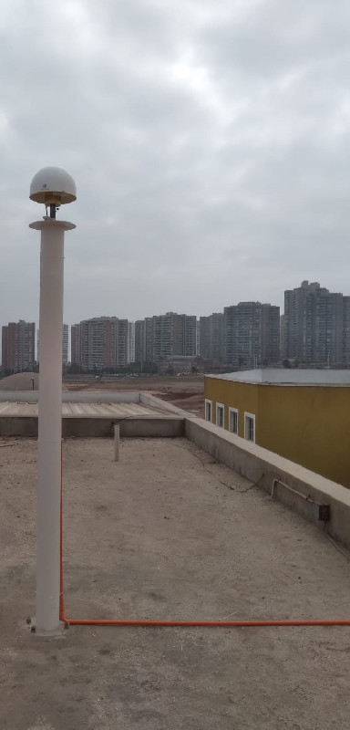
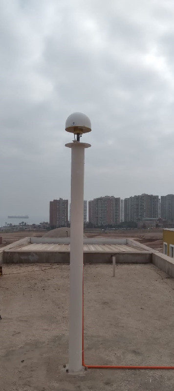
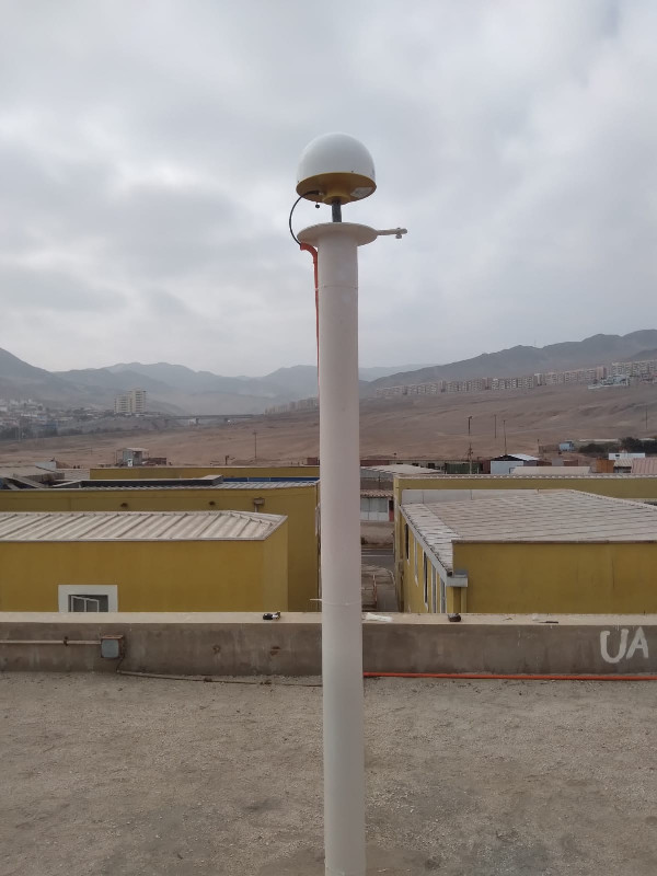
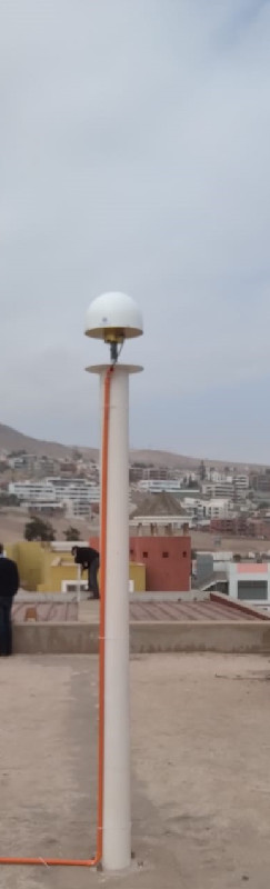
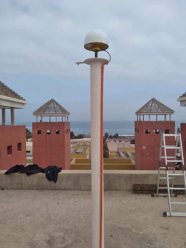
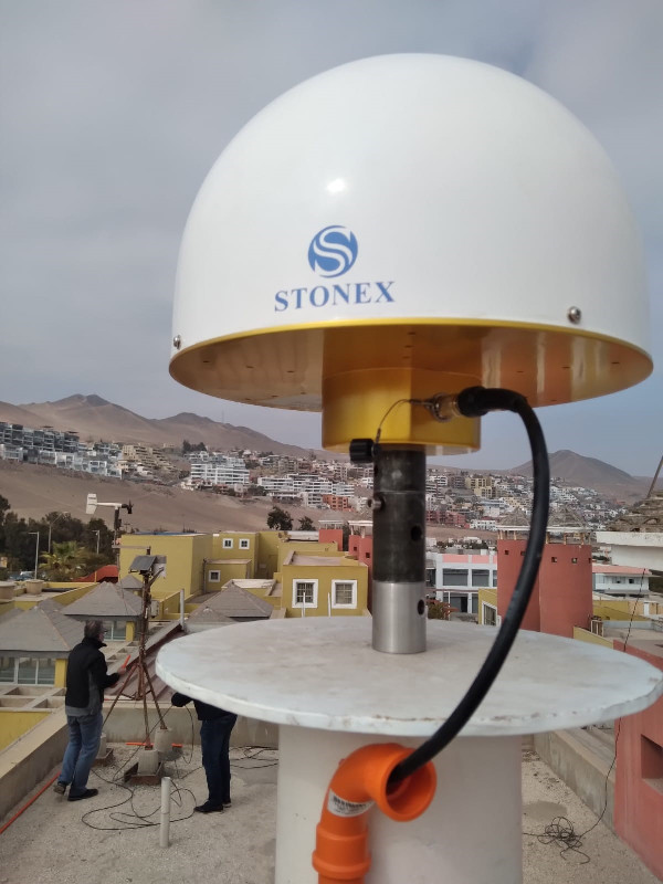
Photo albumANTF
Log bookANTF
[IGSMAIL-8252] New IGS Station: ANTF00CHL (23/09/2022)
We are pleased to announce the addition of the following station to the IGS Network:
Site Location Receiver Antenna Radome Coverage RINEX Sample Interval
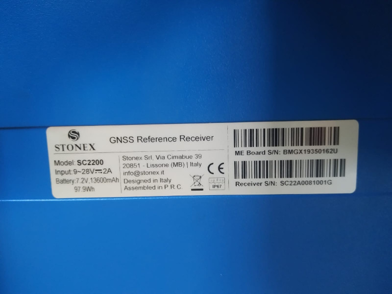
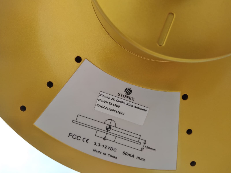
ANTF00CHL Antofagasta, Chile STONEX SC2200 STXSA1500 STXG GPS GLO GAL BDS SBAS 3 30s
RINEX3 data is available from CDDIS.
This new station is providing real-time data to the BKG caster. We appreciate the Universidad de Santiago de Chile (USACH) for providing the data and the Universidad de Antofagasta for hosting the station.


