
MAUNA KEA
Station summaryMKEA


| IGS-type acronym : | MKEA |
| Latitude : | 19.80139923 |
| Longitude : | -155.45599365 |
| Installed date : | 1996-08-08 |
| Decommissioned date : | |
| Country : | U.S.A. |
| City: | MAUNA KEA |
| Station status : | active (green) |
| Domes Nr.: | 40477M001 |
| Station operator: | (NRAO) - National Radio Astronomy Observatory |
| IGS-like station form : |
GPS position times seriesMKEA
(Reference epoch: )
| M | Material change or malfunction |
| E | Earthquake |
| RF | Reference Frame change |
| U | Unknown |
| NA | Not available |
| Position discontinuity | |
| Velocity discontinuity |
Data available at SONELMKEA
Quality plots on RINEX filesMKEA
 |
 |
Plots generated using software developed with the EPN team at ROB |
| Observations & tracking performance | Satellite tracking |
 (this operation may take 20 to 45s)
The satellite tracking graph has been calculated for all stations for the first day of each month. If you wish to have a graph for another date, choose the 'Calculate a specific date' option.
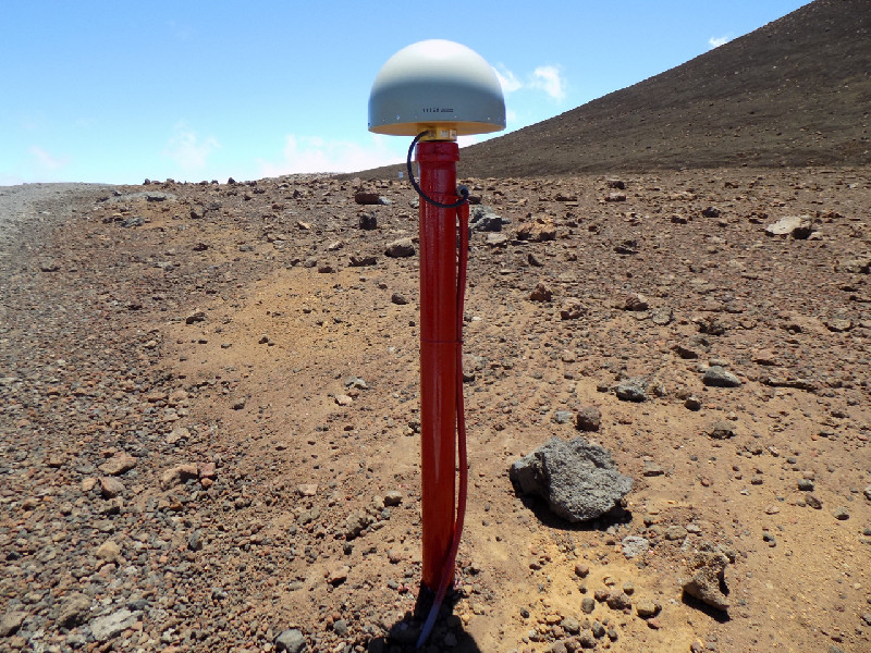
Photo albumMKEA
Log bookMKEA
[IGSSTATION-7829] - 2020-01-07 (08/01/2020)
The MKEA site was visited during the week of December 16, 2019 for maintenance work, based on apparent RF signal quality issues.
A long length (82m) of new lower loss LMR600 antenna cable replaced SF214 type cable. Additionally, the receiver was upgraded to a new Septentrio PolaRx5 and is now tracking GPS, GLO, GAL, BDS, and QZSS. The external H-maser frequency reference input to the receiver is expected to be restored in the next few months (was 5MHz, now require 10MHz).
The cable change unexpectedly resulted an approximate 3cm vertical offset that may have been due to a slow degradation of signal quality that began sometime since the last hardware update in January 2015.
It has also been noted that (contrary to sitelog and header information which states "NONE") that a SCIGN-SCIS radome has been in place since the antenna was last replaced (2015). This will be corrected with the new sitelog. We are reviewing re-translating the raw files to correct the RINEX header info as well.
Further, it was observed upon visiting the site that the antenna was not oriented to 0ºN as assumed, but was actually oriented to approximately 90ªE. Note that the antenna has been left unmodified from this state.
NGS is expecting to visit the site in a week or so to perform a survey. There will be another brief outage during the survey. Back posting of data with the correct dome disposition in the logs and headers will follow once the survey has concluded.
The station is currently operating normally and data will be available once again, beginning with files from ~December 19, 2019.
The assistance of the local NRAO staff during the recent maintenance activity was greatly appreciated.


