
GRAND ISLE
Station summaryGRIS


| IGS-type acronym : | GRIS |
| Latitude : | 29.26552773 |
| Longitude : | -89.95729828 |
| Installed date : | 2004-06-22 |
| Decommissioned date : | |
| Country : | U.S.A. |
| City: | GRAND ISLE |
| Station status : | active (green) |
| Distance to Tide Gauge (m) : | 100 |
| Domes Nr.: | 49399M001 |
| Station operator: | (LSU-C4G) - Louisiana State University - Center for GeoInformatics |
| IGS-like station form : |
GPS position times seriesGRIS
Position
(Reference epoch: )
(Reference epoch: )
Offsets (mm)
| M | Material change or malfunction |
| E | Earthquake |
| RF | Reference Frame change |
| U | Unknown |
| NA | Not available |
| Position discontinuity | |
| Velocity discontinuity |
Data available at SONELGRIS
Quality plots on RINEX filesGRIS
 |
 |
Plots generated using software developed with the EPN team at ROB |
| Observations & tracking performance | Satellite tracking |
 (this operation may take 20 to 45s)
The satellite tracking graph has been calculated for all stations for the first day of each month. If you wish to have a graph for another date, choose the 'Calculate a specific date' option.
Comparison with satellite altimetry data
- Link to Sea Level Differences (Satellite altimetry minus tide gauge data).
Co-located instrumentsGRIS
- Tide gauge : GRAND ISLE (GRITG)
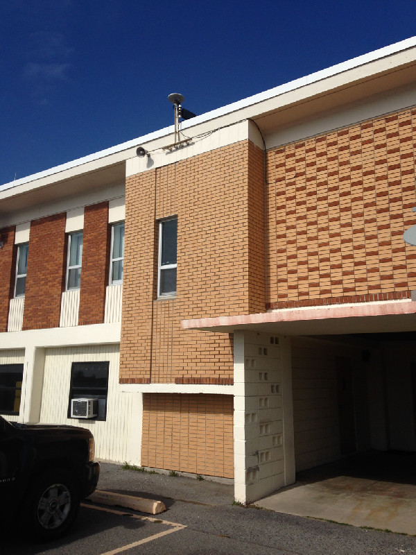
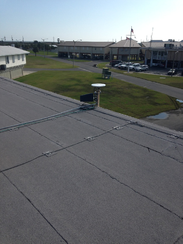
Photo albumGRIS
BibliographyGRIS
If you have a relevant reference to suggest, please send-us an e-mail : sonel@sonel.org-
 Blum, Rahn et al., 2023. Land loss in the Mississippi River Delta: Role of subsidence, global sea-level rise, and coupled atmospheric and oceanographic processes. Global and Planetary Change.


-
Blum, Roberts, 2009. Drowning of the Mississippi Delta due to insufficient sediment supply and global sea-level rise. Nature Geoscience.
-
C.-Letetrel, M.-Karpytchev et al., 2015. Estimation of vertical land movement rates along the coasts of the Gulf of Mexico over the past decades. Continental Shelf Research.
-
Gill, 2013. Underwater: Land loss in coastal Louisiana since 1932. ClimateWatch Magazine.
-
Kolker, Allison et al., 2011. An evaluation of subsidence rates and sea‐level variability in the northern Gulf of Mexico. Geophysical Research Letters.
-
Liu, Li et al., 2020. Land subsidence contributions to relative sea level rise at tide gauge Galveston Pier 21, Texas. Scientific Reports.


