
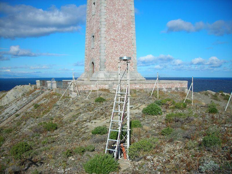
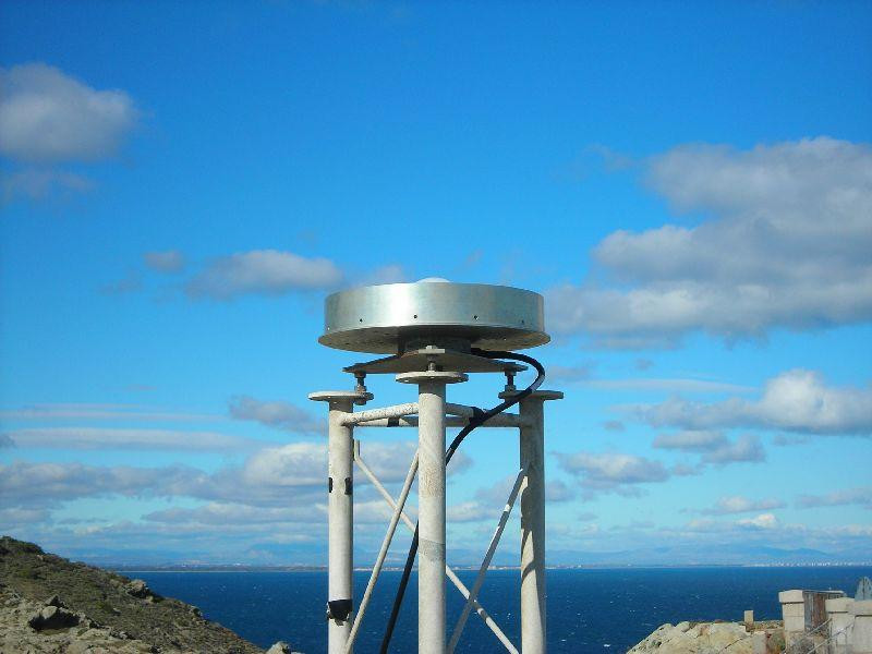
PORT VENDRES
Contributing agency

Station summaryBEA2


| IGS-type acronym : | BEA2 |
| Latitude : | 42.51532034 |
| Longitude : | 3.13669897 |
| Installed date : | 2009-11-07 |
| Decommissioned date : | 2016-08-29 |
| Country : | FRANCE |
| City: | PORT VENDRES |
| Station status : | Decommissioned (white and red cross) |
| Distance to Tide Gauge (m) : | 2468 |
| Domes Nr.: | 10079S001 |
| Station operator: | Unknown |
| IGS-like station form : |
GPS position times seriesBEA2
Position
(Reference epoch: )
(Reference epoch: )
Offsets (mm)
| M | Material change or malfunction |
| E | Earthquake |
| RF | Reference Frame change |
| U | Unknown |
| NA | Not available |
| Position discontinuity | |
| Velocity discontinuity |
Data available at SONELBEA2
Quality plots on RINEX filesBEA2
 |
 |
Plots generated using software developed with the EPN team at ROB |
| Observations & tracking performance | Satellite tracking |
 (this operation may take 20 to 45s)
The satellite tracking graph has been calculated for all stations for the first day of each month. If you wish to have a graph for another date, choose the 'Calculate a specific date' option.
Co-located instrumentsBEA2
- Tide gauge : PORT VENDRES (PVEND)
- GPS : CAP BEAR (BEAR)
Leveling & DatumsBEA2
Photo albumBEA2
BibliographyBEA2
If you have a relevant reference to suggest, please send-us an e-mail : sonel@sonel.org-
 Dodet, Bertin et al., 2019. Characterization of Sea-level Variations Along the Metropolitan Coasts of France: Waves, Tides, Storm Surges and Long-term Changes.


