
CUXHAVEN
Contributing agency

Station summaryTGCU

GNSS-IR


| IGS-type acronym : | TGCU |
| Latitude : | 53.86777700 |
| Longitude : | 8.71750000 |
| Installed date : | 2008-12-09 |
| Decommissioned date : | |
| Country : | GERMANY |
| City: | CUXHAVEN |
| Station status : | active (green) |
| Distance to Tide Gauge (m) : | 1 |
| Domes Nr.: | 14271M002 |
| Station operator: | Unknown |
| IGS-like station form : |
GPS position times seriesTGCU
Position
(Reference epoch: )
(Reference epoch: )
Offsets (mm)
| M | Material change or malfunction |
| E | Earthquake |
| RF | Reference Frame change |
| U | Unknown |
| NA | Not available |
| Position discontinuity | |
| Velocity discontinuity |
Data available at SONELTGCU
Quality plots on RINEX filesTGCU
 |
 |
Plots generated using software developed with the EPN team at ROB |
| Observations & tracking performance | Satellite tracking |
 (this operation may take 20 to 45s)
The satellite tracking graph has been calculated for all stations for the first day of each month. If you wish to have a graph for another date, choose the 'Calculate a specific date' option.
Comparison with satellite altimetry data
- Link to Sea Level Differences (Satellite altimetry minus tide gauge data).
Co-located instrumentsTGCU
- Tide gauge : CUXHAVEN 2 (CUXTG)
- GPS : BAKE Z (TGZU)
Leveling & DatumsTGCU
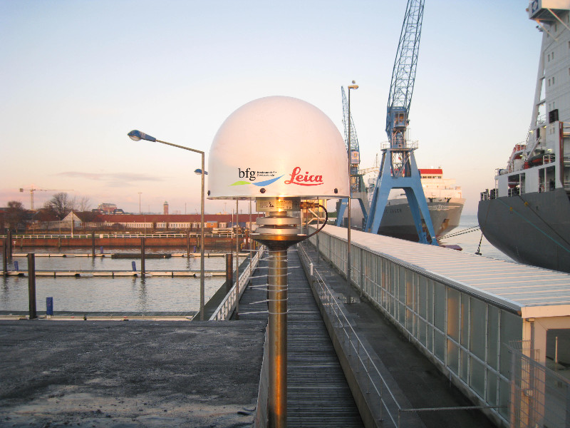
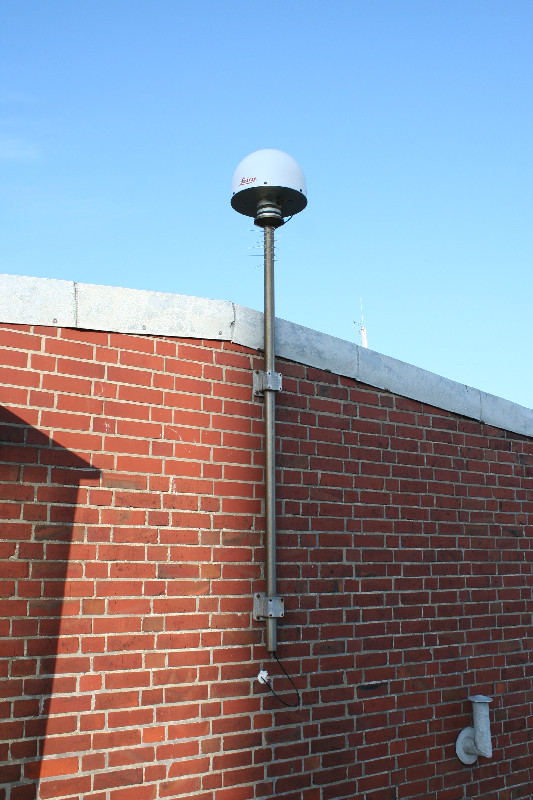
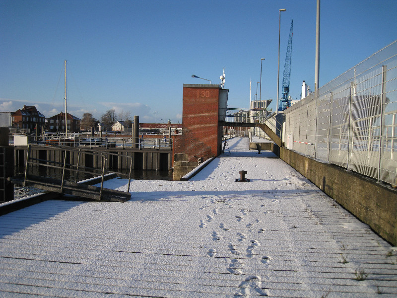
Photo albumTGCU
BibliographyTGCU
If you have a relevant reference to suggest, please send-us an e-mail : sonel@sonel.org-
 Dangendorf, Mudersbach et al., 2013. Characteristics of intra-, inter-annual and decadal sea-level variability and the role of meteorological forcing: the long record of Cuxhaven. Ocean Dynamics.

-
Esselborn, Schöne et al., 2022. Validation of Recent Altimeter Missions at Non-Dedicated Tide Gauge Stations in the Southeastern North Sea. Remote Sensing.

-
Wahl, Haigh et al., 2013. Observed mean sea level changes around the North Sea coastline from 1800 to present. Earth-Science Reviews.


