
SAINTE-HELENE
Station summarySTHL


| IGS-type acronym : | STHL |
| Latitude : | -15.94254722 |
| Longitude : | -5.66733888 |
| Installed date : | 2010-03-02 |
| Decommissioned date : | |
| Country : | UK |
| City: | SAINTE HELENE |
| Station status : | active (green) |
| Distance to Tide Gauge (m) : | 5735 |
| Domes Nr.: | 30606M003 |
| Station operator: | (JPL) - Jet Propulsion Laboratory |
| IGS-like station form : |
GPS position times seriesSTHL
Position
(Reference epoch: )
(Reference epoch: )
Offsets (mm)
| M | Material change or malfunction |
| E | Earthquake |
| RF | Reference Frame change |
| U | Unknown |
| NA | Not available |
| Position discontinuity | |
| Velocity discontinuity |
Data available at SONELSTHL
Quality plots on RINEX filesSTHL
 |
 |
Plots generated using software developed with the EPN team at ROB |
| Observations & tracking performance | Satellite tracking |
 (this operation may take 20 to 45s)
The satellite tracking graph has been calculated for all stations for the first day of each month. If you wish to have a graph for another date, choose the 'Calculate a specific date' option.
Co-located instrumentsSTHL
- Doris : ST HELENA (HEMB)
- Tide gauge : JAMESTOWN LANDING STEPS (SHELE)
- Tide gauge : Rupert's Bay (STHRB)
- GPS : Jameston (SHTA)
- GPS : Jamestown Hill (RTOW)
Leveling & DatumsSTHL
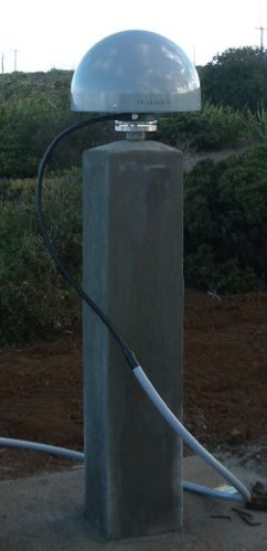
Photo albumSTHL
BibliographySTHL
If you have a relevant reference to suggest, please send-us an e-mail : sonel@sonel.org-
 Woodworth, Hibbert, 2015. Sea-level monitoring in the British verseas Territories. Journal of Operational Oceanography.

Log bookSTHL
[IGSSTATION-5443] - 2013-06-12 (18/06/2013)
The Saint Helena (STHL) IGS station recently had a data outage due to a problem with the data collection computer. The data outage was from June 6th at 12:00 UTC until June 10th at 15:45 UTC.


