
FRIDAY HARBOR
Station summarySC02

GNSS-IR


| IGS-type acronym : | SC02 |
| Latitude : | 48.54619500 |
| Longitude : | -123.00761000 |
| Installed date : | 2001-11-10 |
| Decommissioned date : | |
| Country : | U.S.A. |
| City: | FRIDAY HARBOR |
| Station status : | active (green) |
| Distance to Tide Gauge (m) : | 359 |
| Domes Nr.: | 49670M001 |
| Station operator: | Unknown |
| IGS-like station form : |
GPS position times seriesSC02
Position
(Reference epoch: )
(Reference epoch: )
Offsets (mm)
| M | Material change or malfunction |
| E | Earthquake |
| RF | Reference Frame change |
| U | Unknown |
| NA | Not available |
| Position discontinuity | |
| Velocity discontinuity |
Data available at SONELSC02
Quality plots on RINEX filesSC02
 |
 |
Plots generated using software developed with the EPN team at ROB |
| Observations & tracking performance | Satellite tracking |
 (this operation may take 20 to 45s)
The satellite tracking graph has been calculated for all stations for the first day of each month. If you wish to have a graph for another date, choose the 'Calculate a specific date' option.
Comparison with satellite altimetry data
- Link to Sea Level Differences (Satellite altimetry minus tide gauge data).
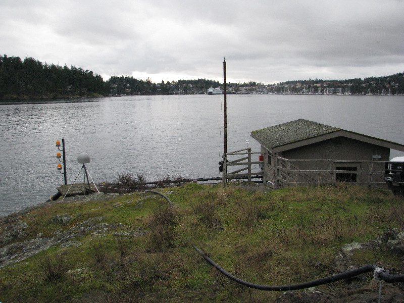
Co-located instrumentsSC02
- Tide gauge : FRIDAY HARBOR (OCEAN. LABS.) (SC0TG)
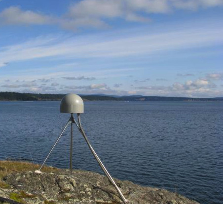
Photo albumSC02
BibliographySC02
If you have a relevant reference to suggest, please send-us an e-mail : sonel@sonel.org-
 Larson, Ray et al., 2017. A 10-Year Comparison of Water Levels Measured with a Geodetic GPS Receiver versus a Conventional Tide Gauge. Journal of Atmospheric and Oceanic Technology.

-
Shuangcheng-Zhang, Kai-Liu et al., 2019. Tide variation monitoring based improved GNSS-MR by empirical mode decomposition. Advances in Space Research.

-
Wang, Xu et al., 2018. Sea Level Estimation Based on GNSS Dual-Frequency Carrier Phase Linear Combinations and SNR. Remote Sensing.
-
Zheng, Chen et al., 2020. Tide Height Inversion and Accuracy Analysis Based on GNSS-MR Technology.


