
PEMBA
Station summaryPMBA


| IGS-type acronym : | PMBA |
| Latitude : | -12.96449800 |
| Longitude : | 40.48388800 |
| Installed date : | 2007-11-05 |
| Decommissioned date : | |
| Country : | MOZAMBIQUE |
| City: | PEMBA |
| Station status : | No data for 30 days (orange) |
| Distance to Tide Gauge (m) : | 417 |
| Domes Nr.: | 39302M001 |
| Station operator: | Unknown |
| IGS-like station form : |
GPS position times seriesPMBA
Position
(Reference epoch: )
(Reference epoch: )
Offsets (mm)
| M | Material change or malfunction |
| E | Earthquake |
| RF | Reference Frame change |
| U | Unknown |
| NA | Not available |
| Position discontinuity | |
| Velocity discontinuity |
Data available at SONELPMBA
Quality plots on RINEX filesPMBA
 |
 |
Plots generated using software developed with the EPN team at ROB |
| Observations & tracking performance | Satellite tracking |
 (this operation may take 20 to 45s)
The satellite tracking graph has been calculated for all stations for the first day of each month. If you wish to have a graph for another date, choose the 'Calculate a specific date' option.
Co-located instrumentsPMBA
- Tide gauge : PEMBA (PEMBA)
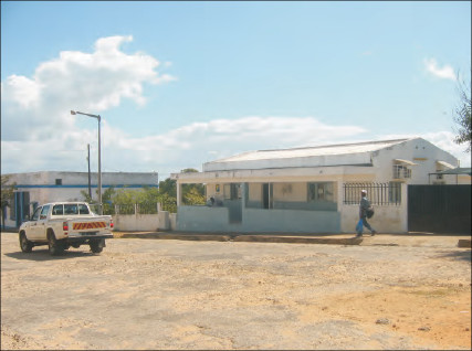
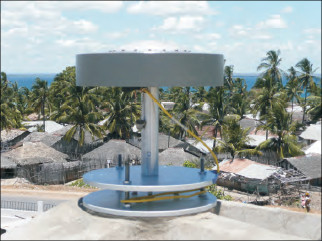
Photo albumPMBA
BibliographyPMBA
If you have a relevant reference to suggest, please send-us an e-mail : sonel@sonel.org-
 Fernandes, Bata et al., 2008. The GUITA project: a contribution for interdisciplinary monitoring of sea-level in Africa .


