
SANTA CRUZ DE LA PALMA
Contributing agency

Station summaryLPAL


| IGS-type acronym : | LPAL |
| Latitude : | 28.76390076 |
| Longitude : | -17.89401000 |
| Installed date : | 2001-05-17 |
| Decommissioned date : | |
| Country : | SPAIN |
| City: | SANTA CRUZ DE LA PALMA |
| Station status : | No data for 30 days (orange) |
| Distance to Tide Gauge (m) : | 15589 |
| Domes Nr.: | 81701M001 |
| Station operator: | (IGNE) - Instituto Geografico Nacional |
| IGS-like station form : |
GPS position times seriesLPAL
Position
(Reference epoch: )
(Reference epoch: )
Offsets (mm)
| M | Material change or malfunction |
| E | Earthquake |
| RF | Reference Frame change |
| U | Unknown |
| NA | Not available |
| Position discontinuity | |
| Velocity discontinuity |
Data available at SONELLPAL
Quality plots on RINEX filesLPAL
 |
 |
Plots generated using software developed with the EPN team at ROB |
| Observations & tracking performance | Satellite tracking |
 (this operation may take 20 to 45s)
The satellite tracking graph has been calculated for all stations for the first day of each month. If you wish to have a graph for another date, choose the 'Calculate a specific date' option.
Co-located instrumentsLPAL
- Tide gauge : SANTA CRUZ DE LA PALMA B (MAZTG)
- GPS : Villa de Mazo (MAZO)
- Tide gauge : LA PALMA (LAPAL)
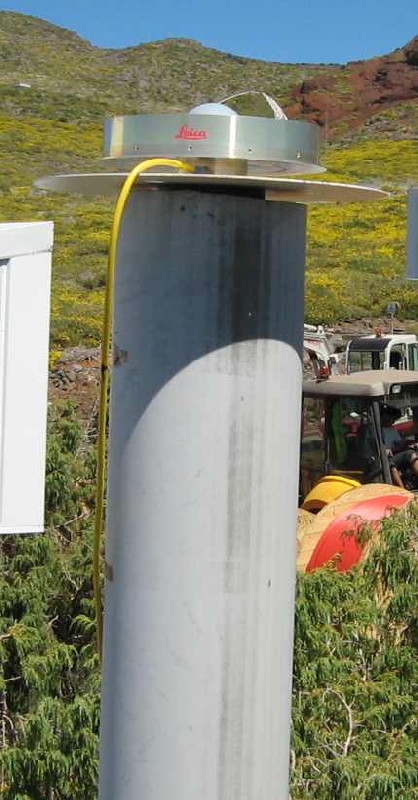
Photo albumLPAL
BibliographyLPAL
If you have a relevant reference to suggest, please send-us an e-mail : sonel@sonel.org-
 Mendes, Barbosa et al., 2017. Vertical land motion and sea level change in Macaronesia. Geophysical Journal International.

Log bookLPAL
[EUREFmail-8269] - 2015-12-03 (03/12/2015)
Some missing hourly or daily data from our LPAL station are not recoverable
due to a power failure. From DOY335 (o-x) to DOY336 (a-n)


