
SANTA MONICA
Station summaryUCLP


| IGS-type acronym : | UCLP |
| Latitude : | 34.06912200 |
| Longitude : | -118.44191100 |
| Installed date : | 1998-01-08 |
| Decommissioned date : | |
| Country : | U.S.A. |
| City: | SANTA MONICA |
| Station status : | No data for 30 days (orange) |
| Distance to Tide Gauge (m) : | 8687 |
| Domes Nr.: | 40487M002 |
| Station operator: | Unknown |
| IGS-like station form : |
GPS position times seriesUCLP
Position
(Reference epoch: )
(Reference epoch: )
Offsets (mm)
| M | Material change or malfunction |
| E | Earthquake |
| RF | Reference Frame change |
| U | Unknown |
| NA | Not available |
| Position discontinuity | |
| Velocity discontinuity |
Data available at SONELUCLP
Quality plots on RINEX filesUCLP
 |
 |
Plots generated using software developed with the EPN team at ROB |
| Observations & tracking performance | Satellite tracking |
 (this operation may take 20 to 45s)
The satellite tracking graph has been calculated for all stations for the first day of each month. If you wish to have a graph for another date, choose the 'Calculate a specific date' option.
Comparison with satellite altimetry data
- Link to Sea Level Differences (Satellite altimetry minus tide gauge data).
Co-located instrumentsUCLP
- Tide gauge : SANTA MONICA (WRHTG)
- GPS : Westchester High School (WRHS)
- GPS : Fire Camp-8 (SPK1)
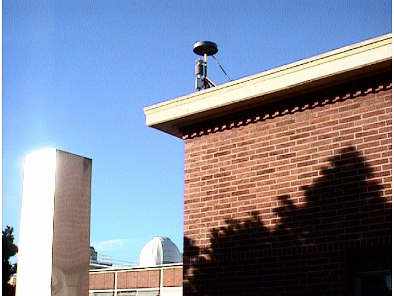
Photo albumUCLP
BibliographyUCLP
If you have a relevant reference to suggest, please send-us an e-mail : sonel@sonel.org-
 Brooks, Merrifield et al., 2007. Space geodetic determination of spatial variability in relative sea level change, Los Angeles basin. Geophysical Research Letters.


