
SAINT-NAZAIRE
Station summarySTNA

GNSS-IR


| IGS-type acronym : | STNA |
| Latitude : | 47.27078479 |
| Longitude : | -2.20299664 |
| Installed date : | 2013-08-26 |
| Decommissioned date : | 2021-12-12 |
| Country : | FRANCE |
| City: | SAINT-NAZAIRE |
| Station status : | Decommissioned (white and red cross) |
| Distance to Tide Gauge (m) : | 450 |
| Domes Nr.: | 19668M001 |
| Station operator: | Unknown |
| IGS-like station form : |
GPS position times seriesSTNA
Position
(Reference epoch: )
(Reference epoch: )
Offsets (mm)
| M | Material change or malfunction |
| E | Earthquake |
| RF | Reference Frame change |
| U | Unknown |
| NA | Not available |
| Position discontinuity | |
| Velocity discontinuity |
Data available at SONELSTNA
Quality plots on RINEX filesSTNA
 |
 |
Plots generated using software developed with the EPN team at ROB |
| Observations & tracking performance | Satellite tracking |
 (this operation may take 20 to 45s)
The satellite tracking graph has been calculated for all stations for the first day of each month. If you wish to have a graph for another date, choose the 'Calculate a specific date' option.
Co-located instrumentsSTNA
- Tide gauge : SAINT-NAZAIRE (SNAZA)
- GPS : Saint-Nazaire (STNZ)
Leveling & DatumsSTNA
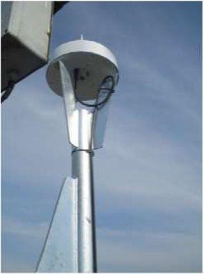
Photo albumSTNA
BibliographySTNA
If you have a relevant reference to suggest, please send-us an e-mail : sonel@sonel.org-
 Coulomb, 2015. Travaux réalisés en 2015 dans le cadre de la convention SONEL .
-
Ferret, Voineson et al., 2014. Historical sea level data rescue to assess long-term sea level evolution: Saint-Nazaire observatory (Loire estuary, France) since 1821.. EGU General Assembly.


