
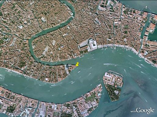
VENEZIA
Station summaryPSAL

GNSS-IR


| IGS-type acronym : | PSAL |
| Latitude : | 45.43071700 |
| Longitude : | 12.33652783 |
| Installed date : | 2005-01-01 |
| Decommissioned date : | |
| Country : | ITALY |
| City: | VENEZIA |
| Station status : | No data for 30 days (orange) |
| Distance to Tide Gauge (m) : | 42 |
| Domes Nr.: | 19513M002 |
| Station operator: | Unknown |
| IGS-like station form : |
GPS position times seriesPSAL
Position
(Reference epoch: )
(Reference epoch: )
Offsets (mm)
| M | Material change or malfunction |
| E | Earthquake |
| RF | Reference Frame change |
| U | Unknown |
| NA | Not available |
| Position discontinuity | |
| Velocity discontinuity |
Data available at SONELPSAL
Quality plots on RINEX filesPSAL
 |
 |
Plots generated using software developed with the EPN team at ROB |
| Observations & tracking performance | Satellite tracking |
 (this operation may take 20 to 45s)
The satellite tracking graph has been calculated for all stations for the first day of each month. If you wish to have a graph for another date, choose the 'Calculate a specific date' option.
Co-located instrumentsPSAL
- GPS : Venezia (VENE)
- Tide gauge : VENEZIA II (VENTG)
- GPS : VENEZIA 1 (VEN1)
- Tide gauge : VENEZIA (PUNTA DELLA SALUTE) (PDSTG)
- Tide gauge : VENEZIA (S.STEFANO) (VENSS)
- Tide gauge : VENEZIA (ARSENALE) (VENAR)
- GPS : VENEZIA - Arsenale (VEAR)
- GPS : Venezia Nicelli (VENI)
- Tide gauge : LIDO DIGA SUD (LDSTG)
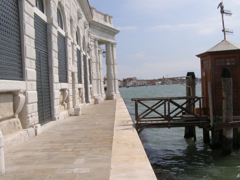
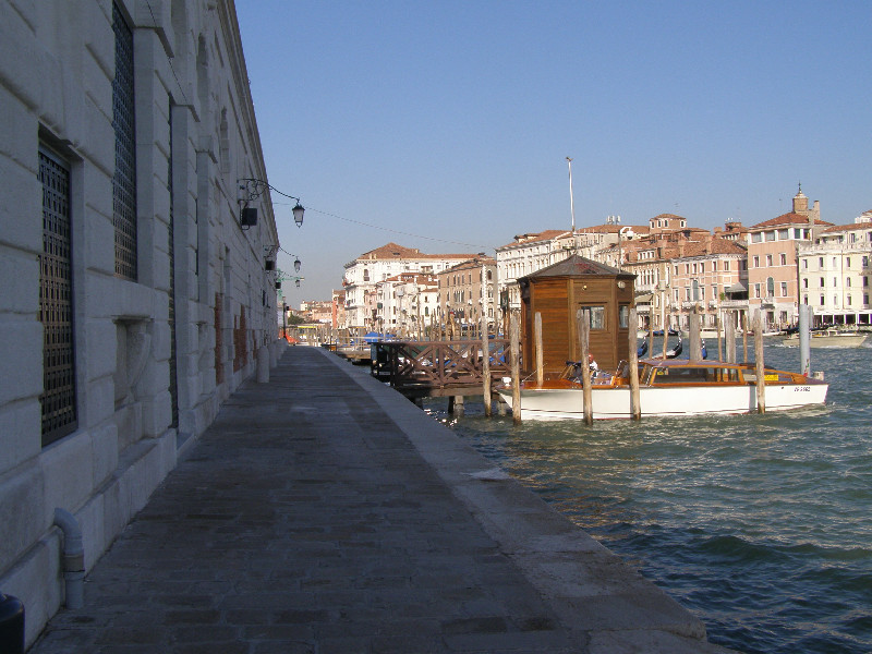
Photo albumPSAL
BibliographyPSAL
If you have a relevant reference to suggest, please send-us an e-mail : sonel@sonel.org-
 De-Biasio, Baldin et al., 2020. Revisiting Vertical Land Motion and Sea Level Trends in the Northeastern Adriatic Sea Using Satellite Altimetry and Tide Gauge Data. Journal of Marine Science and Engineering.


-
Pajak, Kowalczyk et al., 2021. Studying the Sensitivity of Satellite Altimetry, Tide Gauge and GNSS Observations to Changes in Vertical Displacements. Geomatics and Environmental Engineering.
-
Vignudelli, De-Biasio, 2021. Coastal Sea Level Trends from a Joint Use of Satellite Radar Altimetry, GPS and Tide Gauges: Case Study of the Northern Adriatic Sea. Geodetic Sciences - Theory, Applications and Recent Developments.
-
Zerbini, Raicich et al., 2017. Sea-level change in the Northern Mediterranean Sea from long-period tide gauge time series. Earth-Science Reviews.


