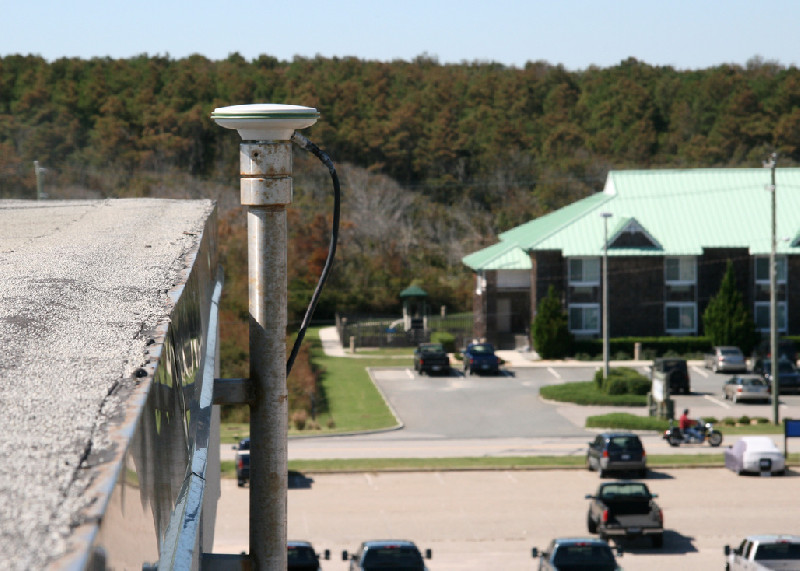
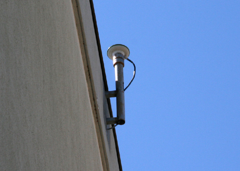
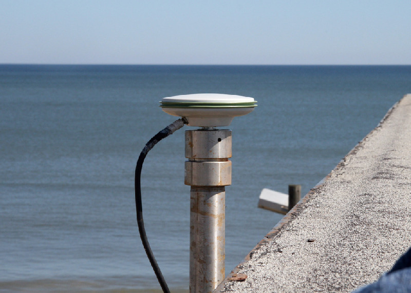
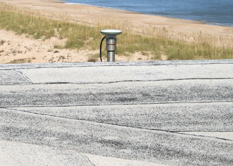
VIRGINIA BEACH
Station summaryLS03


| IGS-type acronym : | LS03 |
| Latitude : | 36.78873889 |
| Longitude : | -75.95953889 |
| Installed date : | 2008-10-03 |
| Decommissioned date : | |
| Country : | U.S.A. |
| City: | VIRGINIA BEACH |
| Station status : | active (green) |
| Distance to Tide Gauge (m) : | 6849 |
| Domes Nr.: | |
| Station operator: | (LOYSS) - Loyola Spatial Systems |
| IGS-like station form : |
GPS position times seriesLS03
Position
(Reference epoch: )
(Reference epoch: )
Offsets (mm)
| M | Material change or malfunction |
| E | Earthquake |
| RF | Reference Frame change |
| U | Unknown |
| NA | Not available |
| Position discontinuity | |
| Velocity discontinuity |
Data available at SONELLS03
Quality plots on RINEX filesLS03
 |
 |
Plots generated using software developed with the EPN team at ROB |
| Observations & tracking performance | Satellite tracking |
 (this operation may take 20 to 45s)
The satellite tracking graph has been calculated for all stations for the first day of each month. If you wish to have a graph for another date, choose the 'Calculate a specific date' option.
Co-located instrumentsLS03
- Tide gauge : VIRGINIA BEACH (VBHTG)
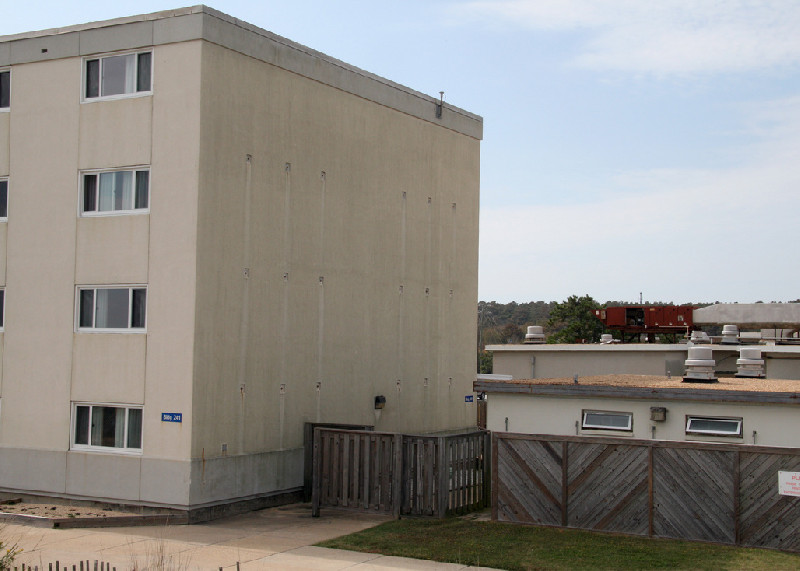
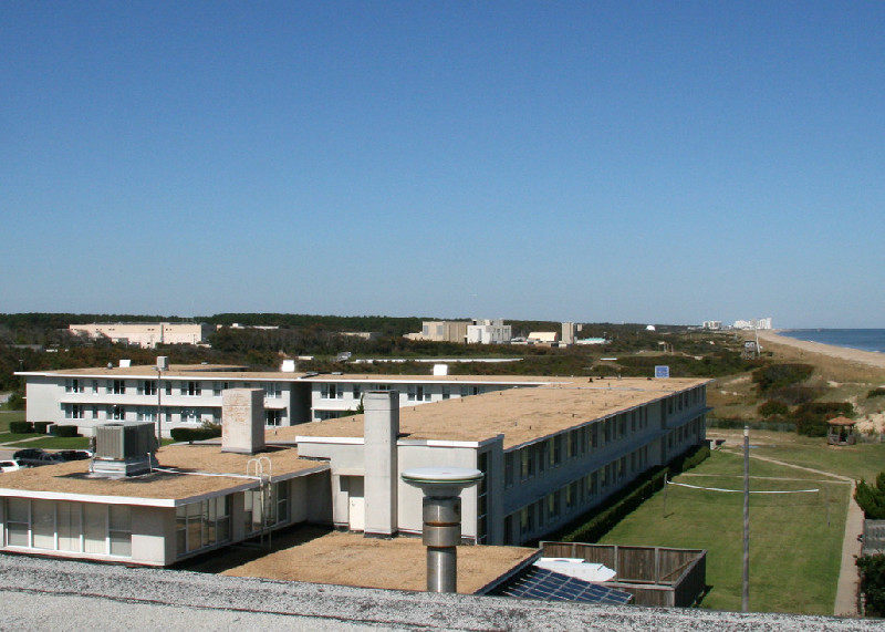
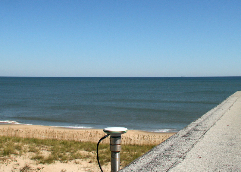
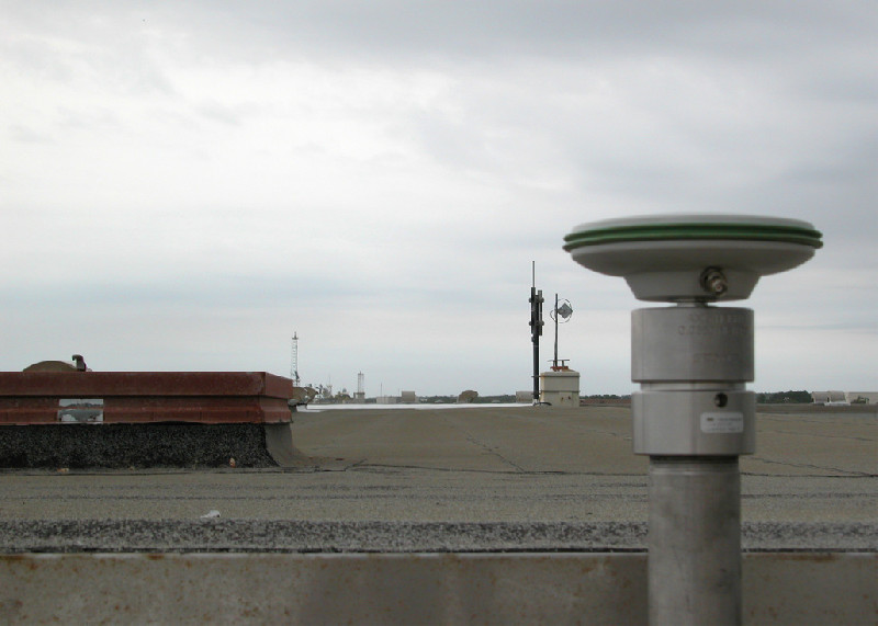
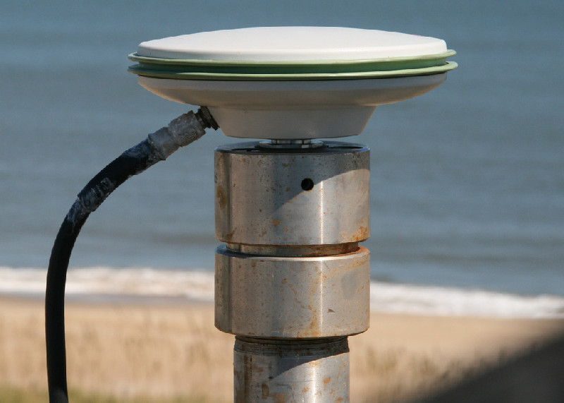
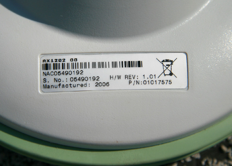
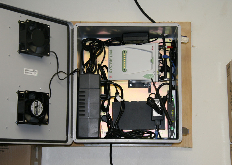
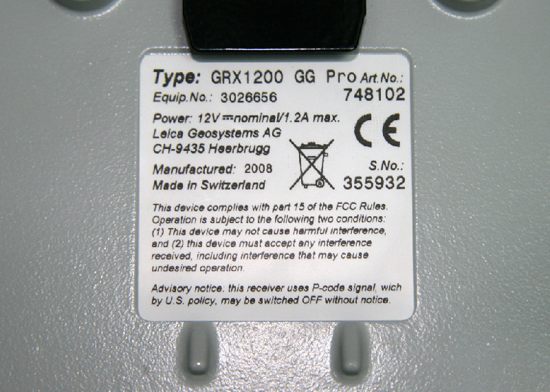
Photo albumLS03