AASIAAT
Contributing agency

Station summaryAASI


| IGS-type acronym : | AASI |
| Latitude : | 68.71931663 |
| Longitude : | -52.79334115 |
| Installed date : | 2005-09-28 |
| Decommissioned date : | |
| Country : | GREENLAND (DENMARK) |
| City: | AASIAAT |
| Station status : | No data for 30 days (orange) |
| Distance to Tide Gauge (m) : | 3648 |
| Domes Nr.: | 43010M001 |
| Station operator: | (DTU-Space) - DTU Space National Space Institute (SDFI) - Agency for Data Supply and Infrastructure |
| IGS-like station form : |
Data available at SONELAASI
Quality plots on RINEX filesAASI
 |
 |
Plots generated using software developed with the EPN team at ROB |
| Observations & tracking performance | Satellite tracking |
 (this operation may take 20 to 45s)
The satellite tracking graph has been calculated for all stations for the first day of each month. If you wish to have a graph for another date, choose the 'Calculate a specific date' option.
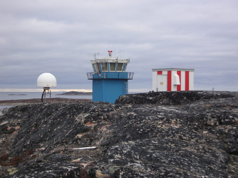
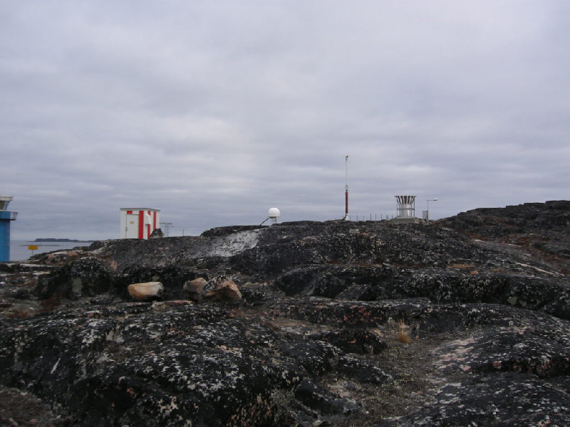
Photo albumAASI