
BETIO ISLAND, KIRIBATI
Station summaryKIRI


| IGS-type acronym : | KIRI |
| Latitude : | 1.35458100 |
| Longitude : | 172.92289800 |
| Installed date : | 2002-08-01 |
| Decommissioned date : | |
| Country : | KIRIBATI |
| City: | BETIO |
| Station status : | active (green) |
| Distance to Tide Gauge (m) : | 1608 |
| Domes Nr.: | 50305M001 |
| Station operator: | Unknown |
| IGS-like station form : |
GPS position times seriesKIRI
(Reference epoch: )
| M | Material change or malfunction |
| E | Earthquake |
| RF | Reference Frame change |
| U | Unknown |
| NA | Not available |
| Position discontinuity | |
| Velocity discontinuity |
Data available at SONELKIRI
Quality plots on RINEX filesKIRI
 |
 |
Plots generated using software developed with the EPN team at ROB |
| Observations & tracking performance | Satellite tracking |
 (this operation may take 20 to 45s)
The satellite tracking graph has been calculated for all stations for the first day of each month. If you wish to have a graph for another date, choose the 'Calculate a specific date' option.
Co-located instrumentsKIRI
- Doris : BETIO (BETB)
- Tide gauge : TARAWA-C (BETIO)
- Tide gauge : TARAWA-A, BETIO (TARAA)
- Tide gauge : BETIO (BETI1)
- GPS : Kiribati (KIRG)
Leveling & DatumsKIRI
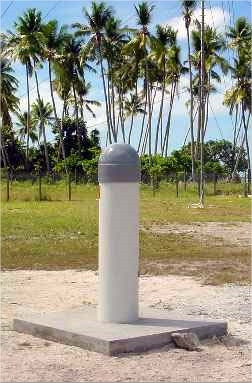
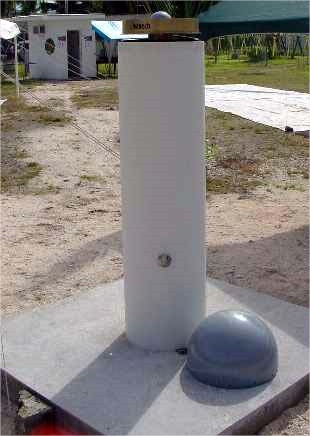
Photo albumKIRI
BibliographyKIRI
If you have a relevant reference to suggest, please send-us an e-mail : sonel@sonel.org-
 Ballu, Gravelle et al., 2019. Vertical land motion in the Southwest and Central Pacific from available GNSS solutions and implications for relative sea levels. Geophysical Journal International.


Log bookKIRI
[IGSSTATION-7773] - 2019-10-22 (25/10/2019)
KIRI is currently offline as we have lost connectivity. We are currently troubleshooting with local contacts to determine the cause, and aim to have the site back online in reasonable time . RINEX and real time data will be unavailable until the issue is resolved.
[IGSSTATION-6031] - 2014-11-21 (25/11/2014)
The antenna at the CORS KIRI has been replaced. As a result the tracking problems highlighted in [IGSSTATION-5929] have been resolved.
An updated site log file has been submitted to IGS-CB. The data is available from IGS-DCs and Geoscience Australia.
[IGSSTATION-5929] - 2014-08-27 (27/08/2014)
We have been observing a steady decline in the quality of data at the site KIRI. This decline appears to be due to a failure within the antenna. We will endeavour to fix this problem as soon as possible. Until then we will be temporarily suspending the transfer to IGS data centres.


