
CAPE VERDE
Station summaryTGCV

GNSS-IR


| IGS-type acronym : | TGCV |
| Latitude : | 16.75480080 |
| Longitude : | -22.98279953 |
| Installed date : | 2000-04-29 |
| Decommissioned date : | |
| Country : | REPUBLIC OF CAPE VERDE |
| City: | PALMEIRA |
| Station status : | Decommissioned (white and red cross) |
| Distance to Tide Gauge (m) : | 5 |
| Domes Nr.: | 39601S001 |
| Station operator: |
Jon Avery
(PGF) - Pacific GPS Facility - Hawaii Institute of Geophysics and Planetology - University of Hawaii at Manoa |
| IGS-like station form : |
GPS position times seriesTGCV
Position
(Reference epoch: )
(Reference epoch: )
Offsets (mm)
| M | Material change or malfunction |
| E | Earthquake |
| RF | Reference Frame change |
| U | Unknown |
| NA | Not available |
| Position discontinuity | |
| Velocity discontinuity |
Data available at SONELTGCV
Quality plots on RINEX filesTGCV
 |
 |
Plots generated using software developed with the EPN team at ROB |
| Observations & tracking performance | Satellite tracking |
 (this operation may take 20 to 45s)
The satellite tracking graph has been calculated for all stations for the first day of each month. If you wish to have a graph for another date, choose the 'Calculate a specific date' option.
Co-located instrumentsTGCV
- Doris : SAL (SALB)
- Tide gauge : PALMEIRA (SALCV)
- GPS : CAP-VERT Espargos (CPVG)
Leveling & DatumsTGCV
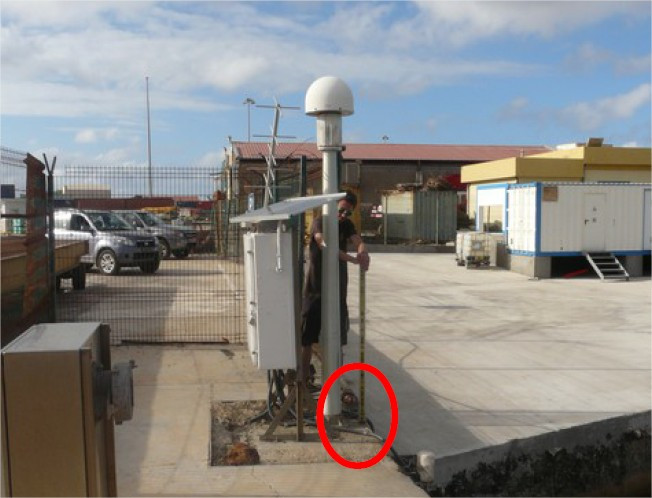
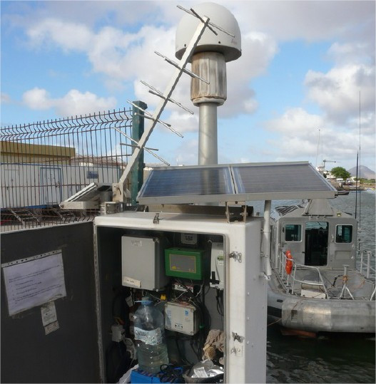
Photo albumTGCV
BibliographyTGCV
If you have a relevant reference to suggest, please send-us an e-mail : sonel@sonel.org-
 , DONAL et al., 2015. Sal ITRF local tie survey. Rapport Technique IGN/SGN, RT/G.
-
Mendes, Barbosa et al., 2017. Vertical land motion and sea level change in Macaronesia. Geophysical Journal International.


