
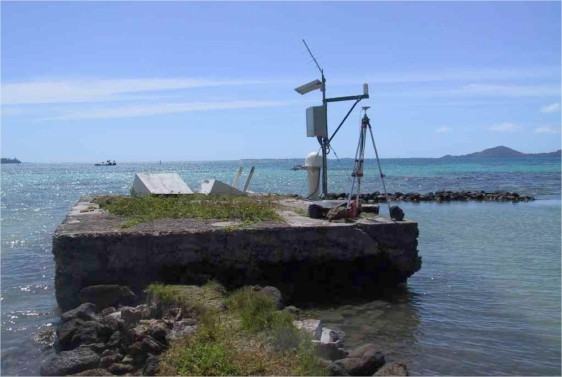
RIKITEA, GAMBIER
Station summary


| Responsible organization: | link to REFMAR web page |
| Latitude : | -23.12228270 |
| Longitude : | -134.96660070 |
| Start date: | |
| End date: | |
| Country: | FRANCE |
| City: | RIKITEA, GAMBIER |
| Station state: | VERT |
Mean sea level
Daily means
Monthly means
Annual means
Calculating the mean sea levels
Links to data sources

Co-located instrumentsRIKIT
Leveling & DatumsRIKIT
Photo albumRIKIT
BibliographyRIKIT
If you have a relevant reference to suggest, please send-us an e-mail : sonel@sonel.org-
 A.-Martínez-Asensio, G.-Wöppelmann et al., 2019. Relative sea-level rise and the influence of vertical land motion at Tropical Pacific Islands. Global and Planetary Change.


History of this station
Installation: 1969


