
FALKLAND ISLAND
Station summary


Links to data sources

Comparison with satellite altimetry data
- Link to Sea Level Differences (Satellite altimetry minus tide gauge data).
Co-located instrumentsFALTG
- GPS : PORT STANLEY (FALK)
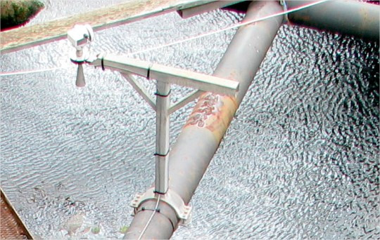
Photo albumFALTG
BibliographyFALTG
If you have a relevant reference to suggest, please send-us an e-mail : sonel@sonel.org-
 Woodworth, Pugh et al., 2010. Long‐term and recent changes in sea level in the Falkland Islands. Journal of Geophysical Research.

-
Woodworth, Hibbert, 2015. Sea-level monitoring in the British verseas Territories. Journal of Operational Oceanography.


