
PENSACOLA
Station summary


Links to data sources

Comparison with satellite altimetry data
- Link to Sea Level Differences (Satellite altimetry minus tide gauge data).
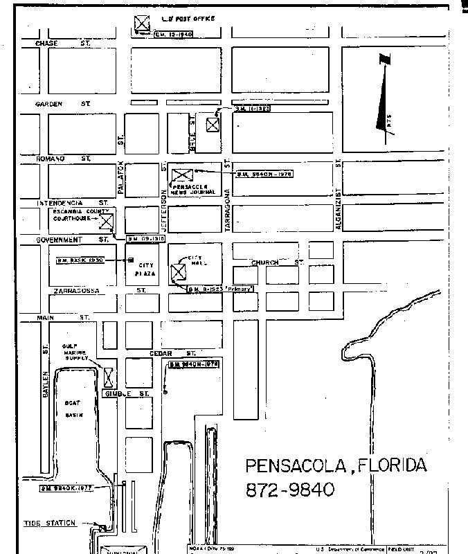
Leveling & DatumsPCLTG
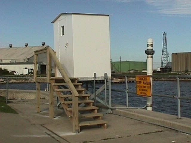
Photo albumPCLTG
BibliographyPCLTG
If you have a relevant reference to suggest, please send-us an e-mail : sonel@sonel.org-
 Blum, Rahn et al., 2023. Land loss in the Mississippi River Delta: Role of subsidence, global sea-level rise, and coupled atmospheric and oceanographic processes. Global and Planetary Change.


-
C.-Letetrel, M.-Karpytchev et al., 2015. Estimation of vertical land movement rates along the coasts of the Gulf of Mexico over the past decades. Continental Shelf Research.
-
Kolker, Allison et al., 2011. An evaluation of subsidence rates and sea‐level variability in the northern Gulf of Mexico. Geophysical Research Letters.


