
CHRISTIANSTED
Station summary


Links to data sources

Co-located instrumentsCROTG
- GPS : St. Croix VLBA (CRO1)
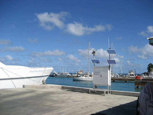
Photo albumCROTG
BibliographyCROTG
If you have a relevant reference to suggest, please send-us an e-mail : sonel@sonel.org-
 Yang, Wang et al., 2016. Comparisons of ground based and building based CORS: a case study in the region of Puerto Rico and the Virgin Islands. Journal of Surveying Engineering.

-
Yang, Wang et al., 2016. GPS geodetic infrastructure for natural hazards study in the Puerto Rico and Virgin Islands region.. Natural Hazards.


