
FREEPORT
Station summary


Links to data sources

Co-located instrumentsFREEP
- GPS : CLUTE COOP (DWI1)
- Tide gauge : USCG FREEPORT (DWITG)
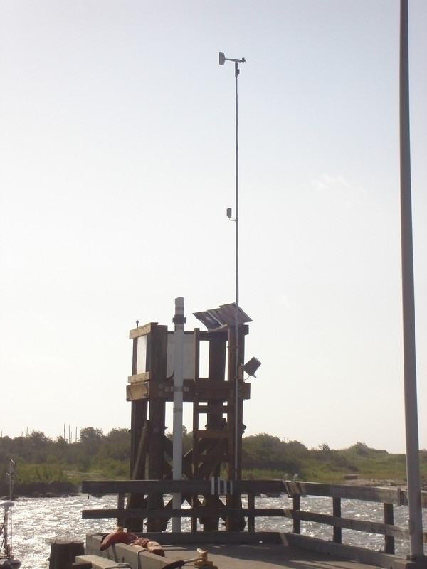
Photo albumFREEP
BibliographyFREEP
If you have a relevant reference to suggest, please send-us an e-mail : sonel@sonel.org-
 C.-Letetrel, M.-Karpytchev et al., 2015. Estimation of vertical land movement rates along the coasts of the Gulf of Mexico over the past decades. Continental Shelf Research.


