
RANGIROA
Contributing agency


Station summaryRGTG


| IGS-type acronym : | RGTG |
| Latitude : | -14.94581200 |
| Longitude : | -147.70604500 |
| Installed date : | 2009-02-26 |
| Decommissioned date : | 2021-02-25 |
| Country : | FRANCE |
| City: | RANGIROA |
| Station status : | Decommissioned (white and red cross) |
| Distance to Tide Gauge (m) : | 1 |
| Domes Nr.: | 92501M002 |
| Station operator: |
GOP Contact
|
| IGS-like station form : |
GPS position times seriesRGTG
(Reference epoch: )
| M | Material change or malfunction |
| E | Earthquake |
| RF | Reference Frame change |
| U | Unknown |
| NA | Not available |
| Position discontinuity | |
| Velocity discontinuity |
Data available at SONELRGTG
Quality plots on RINEX filesRGTG
 |
 |
Plots generated using software developed with the EPN team at ROB |
| Observations & tracking performance | Satellite tracking |
 (this operation may take 20 to 45s)
The satellite tracking graph has been calculated for all stations for the first day of each month. If you wish to have a graph for another date, choose the 'Calculate a specific date' option.
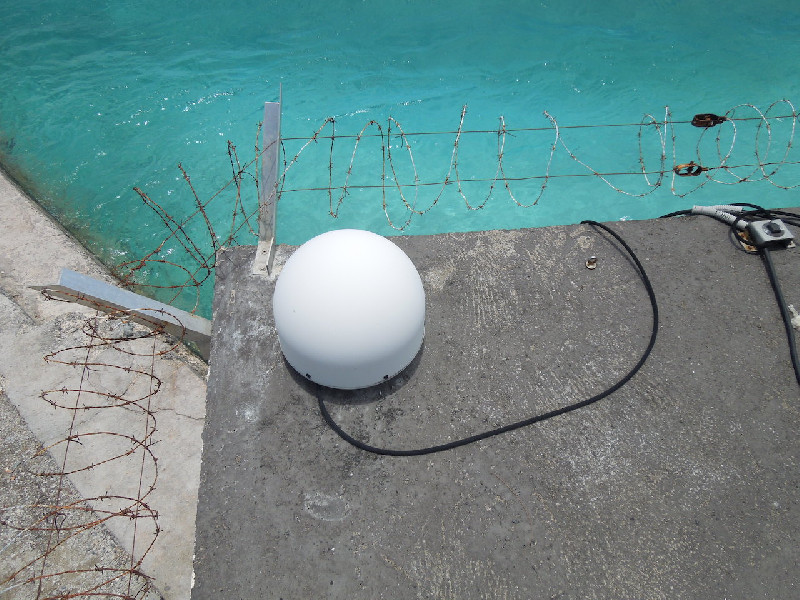
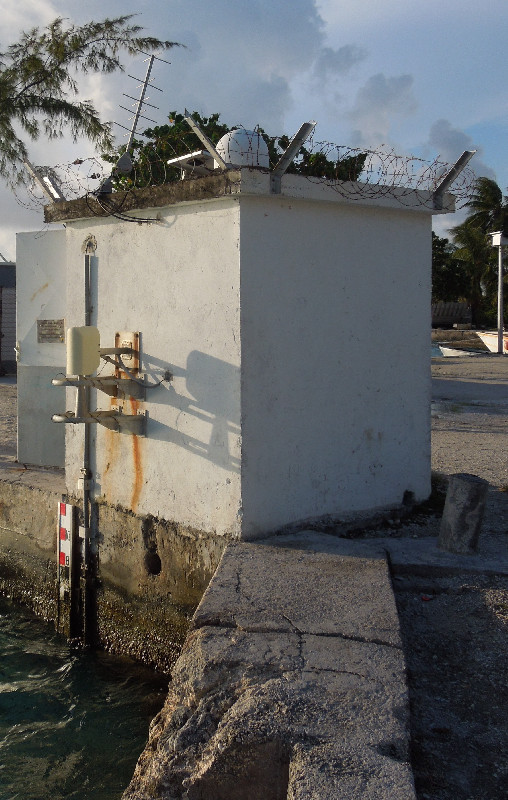
Co-located instrumentsRGTG
- Tide gauge : RANGIROA (RANGI)
Leveling & DatumsRGTG
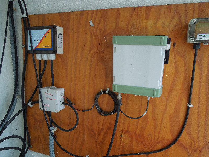
Photo albumRGTG
BibliographyRGTG
If you have a relevant reference to suggest, please send-us an e-mail : sonel@sonel.org-
 Lannuzel, 2011. Réseau de marégraphes dans le Pacifique. Annales Hydrographiques.

-
Xianjie-Li, Jean-Pierre-Barriot et al., 2023. Monitoring absolute vertical land motions and absolute sea-level changes from GPS and tide gauges data over French Polynesia. Geodesy and Geodynamics.

History of the stationRGTG
Installed in 2009.
Removed the 25th of Februray 2021 due the renovation of Avatoru Harbour
Log bookRGTG
2021-02-23 (19/05/2021)
A Shom mission took place at Rangiroa from 23 to 26 of Februray 2021. TG and GNSS station have been totally removed prior to renovation work at Avatoru Harbour. E.Poirier.
2020-06-12 (16/06/2020)
Pacific group of SHOM (GOP) has warned us that construction works will be started during the second semestre of 2020 at Avatoru quay in Rangiroa.
This will probably require the total demolition of the actual tide gauge shelter. Therefore this means the interruption of all TG and GNSS recordings until the construction of a new observatory.
Schedule will be:
- second half of 2020: construction work at Avatoru cargo quay. This will probably impact benchmark RGR-11. It will last 15 month.
- 2021: construction work will take place at tide gauge site. This means total interruption of sea-level and GNSS records.
E. Poirier - LIENSs - University of La Rochelle.


