
PHRA SAMUT CHEDI
Station summaryCUSV


| IGS-type acronym : | CUSV |
| Latitude : | 13.73591400 |
| Longitude : | 100.53390800 |
| Installed date : | 2008-05-12 |
| Decommissioned date : | |
| Country : | THAILAND |
| City: | PHRA SAMUT CHEDI |
| Station status : | active (green) |
| Domes Nr.: | 21904S001 |
| Station operator: | Unknown |
| IGS-like station form : |
GPS position times seriesCUSV
Position
(Reference epoch: )
(Reference epoch: )
Offsets (mm)
| M | Material change or malfunction |
| E | Earthquake |
| RF | Reference Frame change |
| U | Unknown |
| NA | Not available |
| Position discontinuity | |
| Velocity discontinuity |
Data available at SONELCUSV
Quality plots on RINEX filesCUSV
 |
 |
Plots generated using software developed with the EPN team at ROB |
| Observations & tracking performance | Satellite tracking |
 (this operation may take 20 to 45s)
The satellite tracking graph has been calculated for all stations for the first day of each month. If you wish to have a graph for another date, choose the 'Calculate a specific date' option.
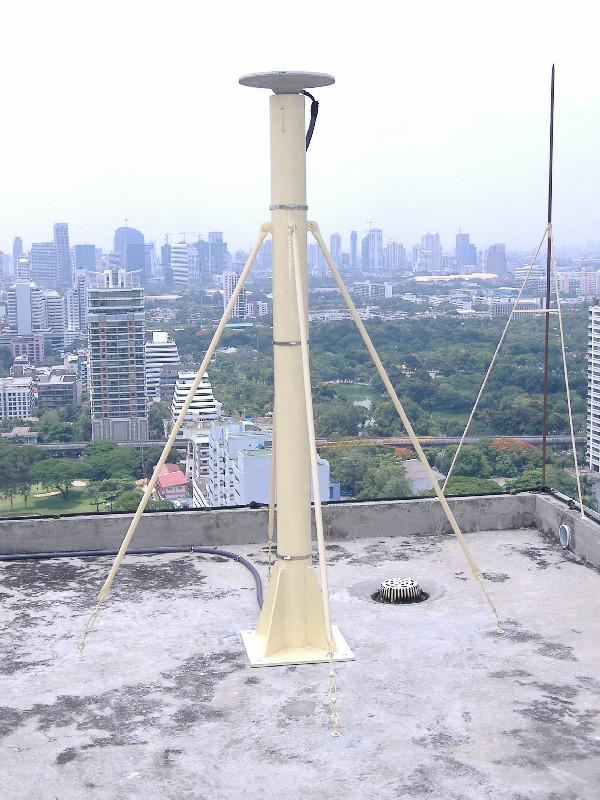
Photo albumCUSV
BibliographyCUSV
If you have a relevant reference to suggest, please send-us an e-mail : sonel@sonel.org-
 Yanguang-Fu, Xinghua-Zhou et al., 2019. Estimation of sea level variability in the South China Sea from satellite altimetry and tide gauge data. Advances in Space Research.


