
MIMIZAN
Contributing agency

Station summaryMIMZ


| IGS-type acronym : | MIMZ |
| Latitude : | 44.20063040 |
| Longitude : | -1.22832057 |
| Installed date : | 2006-12-13 |
| Decommissioned date : | 2019-11-03 |
| Country : | FRANCE |
| City: | MIMIZAN |
| Station status : | Decommissioned (white and red cross) |
| Distance to Tide Gauge (m) : | 5447 |
| Domes Nr.: | 19841M001 |
| Station operator: | Unknown |
| IGS-like station form : |
GPS position times seriesMIMZ
Position
(Reference epoch: )
(Reference epoch: )
Offsets (mm)
| M | Material change or malfunction |
| E | Earthquake |
| RF | Reference Frame change |
| U | Unknown |
| NA | Not available |
| Position discontinuity | |
| Velocity discontinuity |
Data available at SONELMIMZ
Quality plots on RINEX filesMIMZ
 |
 |
Plots generated using software developed with the EPN team at ROB |
| Observations & tracking performance | Satellite tracking |
 (this operation may take 20 to 45s)
The satellite tracking graph has been calculated for all stations for the first day of each month. If you wish to have a graph for another date, choose the 'Calculate a specific date' option.
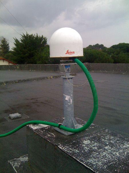
Photo albumMIMZ
Log bookMIMZ
[RGPmail] - 2019-11-04 (07/11/2019)
Depuis une tempête ce week-end, les données de la station MIMZ ne permettent plus d'assurer un service de positionnement et ont donc été retirées de la diffusion depuis le 03/11 (session 307a) jusqu'à résolution du problème.
Since the storm this weekend, the data of MIMZ are wrong. The dataflow has been stopped at 2019-307a, till the problem is solved.


