
KING EDWARD POINT
Station summary


Links to data sources

Co-located instrumentsKEPNT
- GPS : KEPA (KEPA)
- GPS : KEP Research station (KRSA)
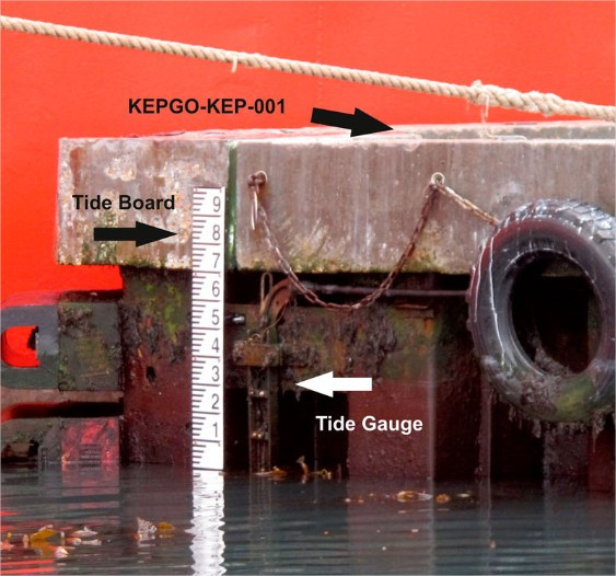
Photo albumKEPNT
BibliographyKEPNT
If you have a relevant reference to suggest, please send-us an e-mail : sonel@sonel.org-
 Teferle, Hunegnaw et al., 2015. The King Edward Point Geodetic Observatory, South Georgia, South Atlantic Ocean.
-
Woodworth, Hibbert, 2015. Sea-level monitoring in the British verseas Territories. Journal of Operational Oceanography.


