DUMONT D'URVILLE
Contributing agency


Station summaryDUMR

GNSS-IR


| IGS-type acronym : | DUMR00ATA |
| Latitude : | -66.66186365 |
| Longitude : | 140.00846947 |
| Installed date : | 2024-01-06 |
| Decommissioned date : | |
| Country : | FRANCE |
| City: | DUMONT D'URVILLE |
| Station status : | active (green) |
| Distance to Tide Gauge (m) : | 54 |
| Domes Nr.: | 91502M001 |
| Station operator: | (IGN) - Institut National de l'Information Géographique et Forestière (IPEV) - Institut Polaire Français Paul Emile Victor |
| IGS-like station form : |
GPS position times seriesDUMR
Position
(Reference epoch: )
(Reference epoch: )
Offsets (mm)
| M | Material change or malfunction |
| E | Earthquake |
| RF | Reference Frame change |
| U | Unknown |
| NA | Not available |
| Position discontinuity | |
| Velocity discontinuity |
Data available at SONELDUMR
Quality plots on RINEX filesDUMR
 |
 |
Plots generated using software developed with the EPN team at ROB |
| Observations & tracking performance | Satellite tracking |
 (this operation may take 20 to 45s)
The satellite tracking graph has been calculated for all stations for the first day of each month. If you wish to have a graph for another date, choose the 'Calculate a specific date' option.
Co-located instrumentsDUMR
- GPS : Dumont d'Urville (DUM1)
- Tide gauge : DUMONT D'URVILLE (DUMON)
- GPS : DUMONT D'URVILLE (DUMG)
- GPS : DUM2 (DUM2)
- Doris : TERRE ADELIE (ADHC)
Leveling & DatumsDUMR
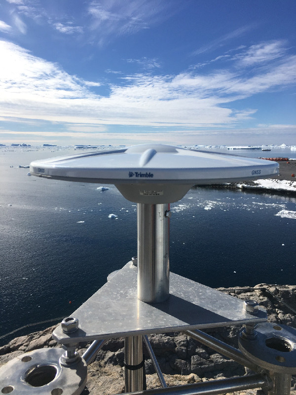
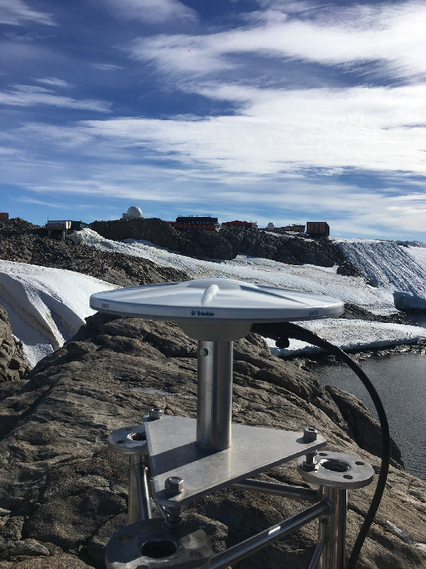
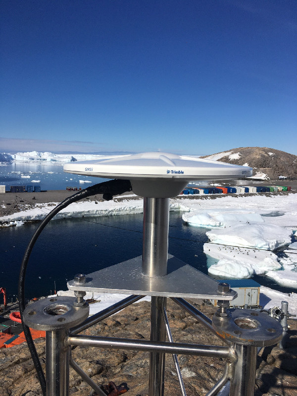
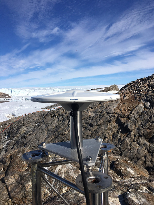
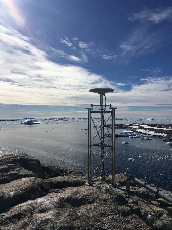
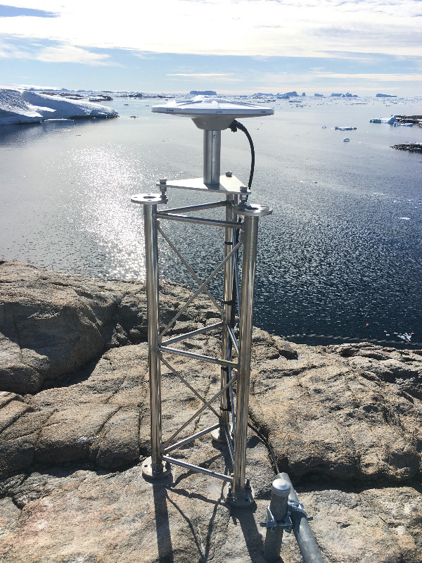
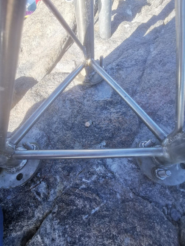
Photo albumDUMR
_1_4688.JPG)