
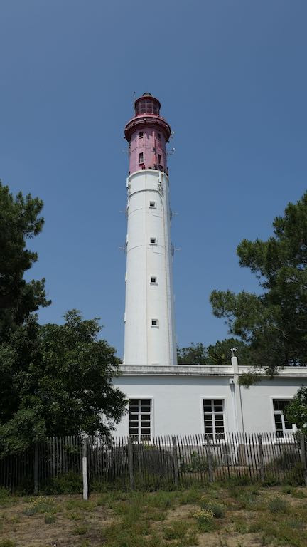
ARCACHON-EYRAC
Contributing agency

Station summaryFERR


| IGS-type acronym : | FERR |
| Latitude : | 44.64595000 |
| Longitude : | -1.24883600 |
| Installed date : | 2005-05-30 |
| Decommissioned date : | 2016-08-29 |
| Country : | FRANCE |
| City: | ARCACHON-EYRAC |
| Station status : | Decommissioned (white and red cross) |
| Distance to Tide Gauge (m) : | 7079 |
| Domes Nr.: | 10087M001 |
| Station operator: | Unknown |
| IGS-like station form : |
GPS position times seriesFERR
Position
(Reference epoch: )
(Reference epoch: )
Offsets (mm)
| M | Material change or malfunction |
| E | Earthquake |
| RF | Reference Frame change |
| U | Unknown |
| NA | Not available |
| Position discontinuity | |
| Velocity discontinuity |
Data available at SONELFERR
Quality plots on RINEX filesFERR
 |
 |
Plots generated using software developed with the EPN team at ROB |
| Observations & tracking performance | Satellite tracking |
 (this operation may take 20 to 45s)
The satellite tracking graph has been calculated for all stations for the first day of each month. If you wish to have a graph for another date, choose the 'Calculate a specific date' option.
Co-located instrumentsFERR
- Tide gauge : ARCACHON-EYRAC (EYRAC)
Leveling & DatumsFERR
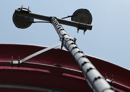
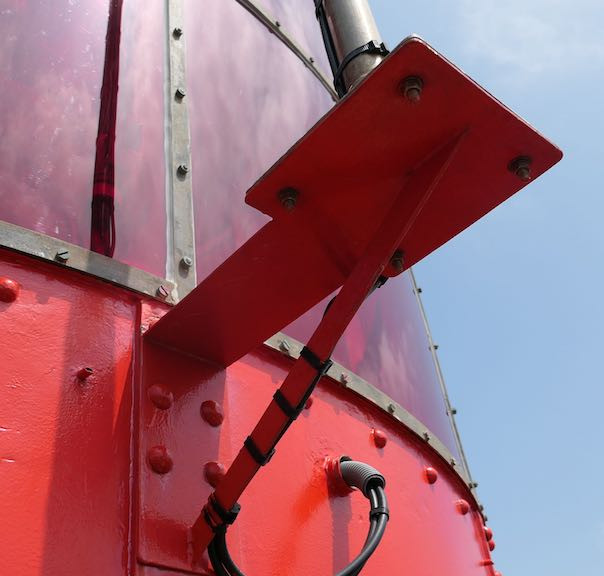
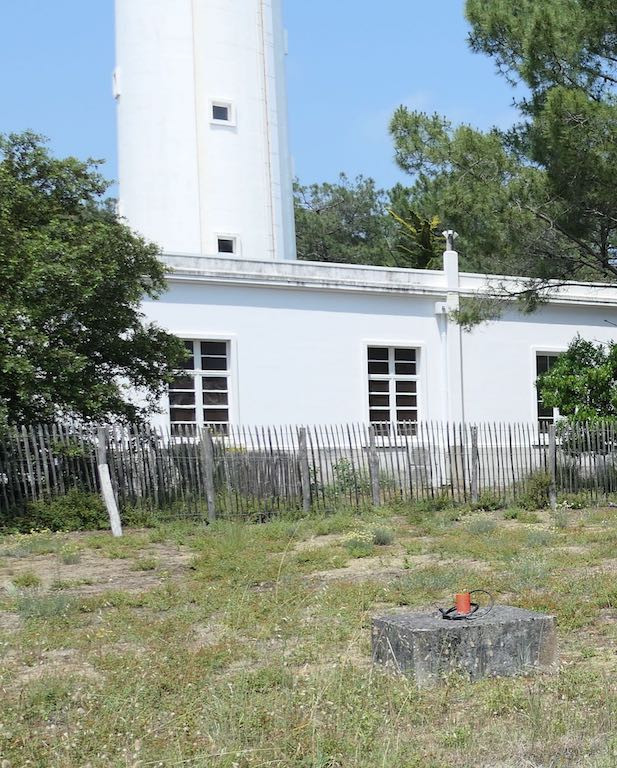
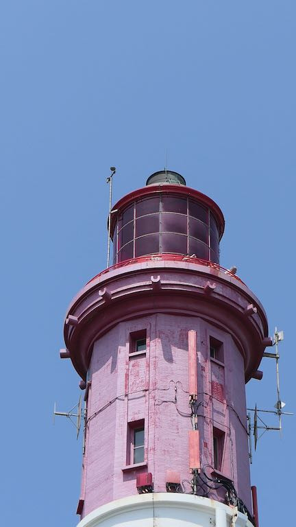
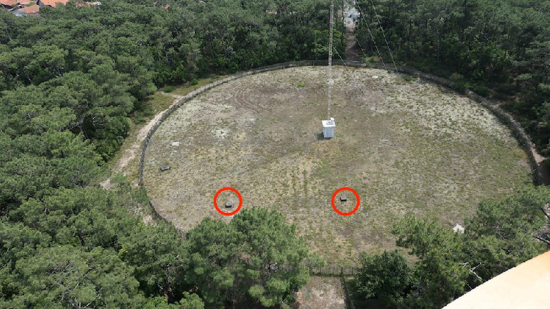
Photo albumFERR
BibliographyFERR
If you have a relevant reference to suggest, please send-us an e-mail : sonel@sonel.org-
 D'Anna, Idier et al., 2020. Impact of model free parameters and sea-level rise uncertainties on 20-years shoreline hindcast: the case of Truc Vert beach (SW France). Earth Surface Processes and Landforms.


-
Dodet, Bertin et al., 2019. Characterization of Sea-level Variations Along the Metropolitan Coasts of France: Waves, Tides, Storm Surges and Long-term Changes.
-
Le Cozannet, Bulteau et al., 2019. Quantifying uncertainties of sandy shoreline change projections as sea level rises. Scientific Reports.
-
Poirier, Gravelle et al., 2018. Contrôles du marégraphe d'Arcachon - Mission du 12 au 15 juin 2018.. SONEL Nr. 001/18.
History of the stationFERR
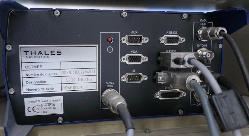
Cette station a été installée en 2005 par le CETMEF en charge de sa gestion et inétegrée au RGP. Elle fait partie du réseau DGPS de 7 stations pour fournir des corrections aux navires (source 2002). Nous supposons que ce service est toujours assuré en 2019.
Log bookFERR
2018/06/13 (17/01/2019)
Visite d'une équipe SONEL, SHOM, IGN, LIENSs reçue par les Phares et Balises au phare du cap Ferret pour effectuer un repérage en vue de rétablir la connexion de cette station et/ou prévoir sa modernisation.


