
CARTAGENA_S
Contributing agency

Station summaryCARG

GNSS-IR


| IGS-type acronym : | CARG |
| Latitude : | 37.59660209 |
| Longitude : | -0.97384934 |
| Installed date : | 2014-05-23 |
| Decommissioned date : | |
| Country : | SPAIN |
| City: | CARTAGENA |
| Station status : | active (green) |
| Distance to Tide Gauge (m) : | 91 |
| Domes Nr.: | 19412M001 |
| Station operator: | Unknown |
| IGS-like station form : |
GPS position times seriesCARG
Position
(Reference epoch: )
(Reference epoch: )
Offsets (mm)
| M | Material change or malfunction |
| E | Earthquake |
| RF | Reference Frame change |
| U | Unknown |
| NA | Not available |
| Position discontinuity | |
| Velocity discontinuity |
Data available at SONELCARG
Quality plots on RINEX filesCARG
 |
 |
Plots generated using software developed with the EPN team at ROB |
| Observations & tracking performance | Satellite tracking |
 (this operation may take 20 to 45s)
The satellite tracking graph has been calculated for all stations for the first day of each month. If you wish to have a graph for another date, choose the 'Calculate a specific date' option.
Co-located instrumentsCARG
- Tide gauge : CARTAGENA (CRGTG)
Leveling & DatumsCARG
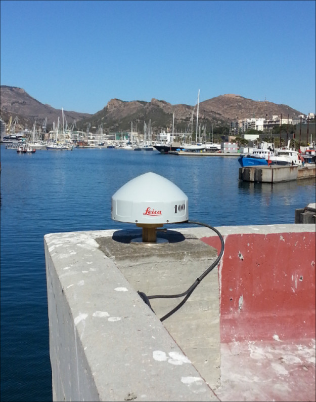
Photo albumCARG
Log bookCARG
[EUREFmail-8698] - 2016-09-02 (02/09/2016)
Due to a breakdown of the UPS, our CARG station was non-available and some of hourly and daily data were lost from 215U to 246F.
But now it is totally working again.


