
TURKU
Station summaryTUO2


| IGS-type acronym : | TUO2 |
| Latitude : | 60.41600000 |
| Longitude : | 22.44300000 |
| Installed date : | 2012-05-11 |
| Decommissioned date : | |
| Country : | FINLAND |
| City: | TURKU |
| Station status : | active (green) |
| Distance to Tide Gauge (m) : | 18944 |
| Domes Nr.: | 10521M002 |
| Station operator: | Unknown |
| IGS-like station form : |
GPS position times seriesTUO2
Position
(Reference epoch: )
(Reference epoch: )
Offsets (mm)
| M | Material change or malfunction |
| E | Earthquake |
| RF | Reference Frame change |
| U | Unknown |
| NA | Not available |
| Position discontinuity | |
| Velocity discontinuity |
Data available at SONELTUO2
Quality plots on RINEX filesTUO2
 |
 |
Plots generated using software developed with the EPN team at ROB |
| Observations & tracking performance | Satellite tracking |
 (this operation may take 20 to 45s)
The satellite tracking graph has been calculated for all stations for the first day of each month. If you wish to have a graph for another date, choose the 'Calculate a specific date' option.
Comparison with satellite altimetry data
- Link to Sea Level Differences (Satellite altimetry minus tide gauge data).
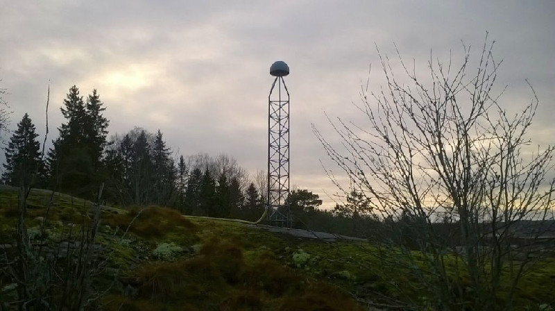
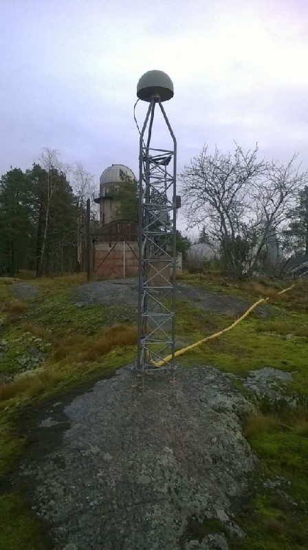
Photo albumTUO2
Log bookTUO2
[EUREFmail-9718] - 2019-01-29 (06/02/2019)
We have upgraded firmware of our JAVAD DELTA TRE 3 receivers to the version=
3.7.5p1 Jan,23,2019 that fixes the issues with Beidou tracking. So, the Be=
idou has been enabled now and the site logs updated.


