
ZADAR
Station summaryZADA


| IGS-type acronym : | ZADA00HRV |
| Latitude : | 44.11317300 |
| Longitude : | 15.22748400 |
| Installed date : | 2008-12-09 |
| Decommissioned date : | |
| Country : | CROATIA |
| City: | ZADAR |
| Station status : | active (green) |
| Distance to Tide Gauge (m) : | 1248 |
| Domes Nr.: | 11905M001 |
| Station operator: | (SGA) - State Geodetic Administration |
| IGS-like station form : |
GPS position times seriesZADA
Position
(Reference epoch: )
(Reference epoch: )
Offsets (mm)
| M | Material change or malfunction |
| E | Earthquake |
| RF | Reference Frame change |
| U | Unknown |
| NA | Not available |
| Position discontinuity | |
| Velocity discontinuity |
Data available at SONELZADA
Quality plots on RINEX filesZADA
 |
 |
Plots generated using software developed with the EPN team at ROB |
| Observations & tracking performance | Satellite tracking |
 (this operation may take 20 to 45s)
The satellite tracking graph has been calculated for all stations for the first day of each month. If you wish to have a graph for another date, choose the 'Calculate a specific date' option.
Comparison with satellite altimetry data
- Link to Sea Level Differences (Satellite altimetry minus tide gauge data).
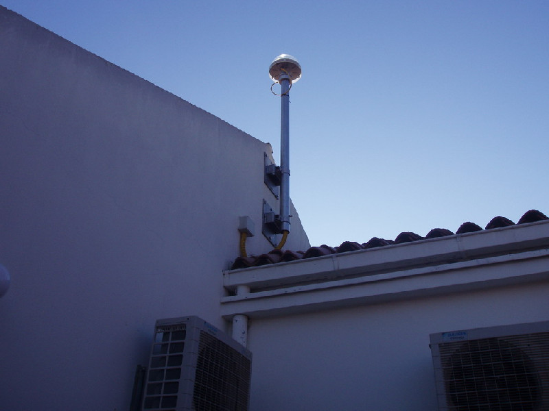
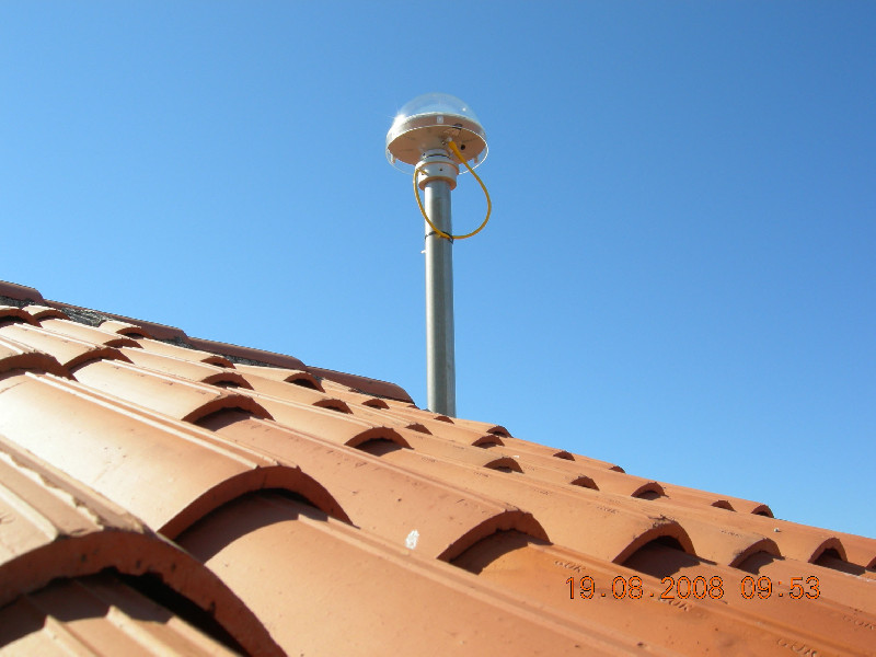
Photo albumZADA
BibliographyZADA
If you have a relevant reference to suggest, please send-us an e-mail : sonel@sonel.org-
 Pajak, Kowalczyk et al., 2021. Studying the Sensitivity of Satellite Altimetry, Tide Gauge and GNSS Observations to Changes in Vertical Displacements. Geomatics and Environmental Engineering.


Log bookZADA
[EUREFmail-7882] - 2015-04-07 (08/04/2015)
Due to yearly maintenance on electrical infrastructure that our power supplier will perform on the location of CROPOS control center, EPN stations CAKO, DUB2, PORE, POZE and ZADA will be unavailable on 8th April 2015 from 8:30 to 14:00 hrs.


