
HIENGHENE
Contributing agency

Station summaryHGHN


| IGS-type acronym : | HGHN00NCL |
| Latitude : | -20.68884593 |
| Longitude : | 164.94304320 |
| Installed date : | 2010-01-01 |
| Decommissioned date : | |
| Country : | FRANCE |
| City: | HIENGHENE |
| Station status : | active (green) |
| Distance to Tide Gauge (m) : | 350 |
| Domes Nr.: | 92726M002 |
| Station operator: | Unknown |
| IGS-like station form : |
GPS position times seriesHGHN
Position
(Reference epoch: )
(Reference epoch: )
Offsets (mm)
| M | Material change or malfunction |
| E | Earthquake |
| RF | Reference Frame change |
| U | Unknown |
| NA | Not available |
| Position discontinuity | |
| Velocity discontinuity |
Data available at SONELHGHN
Quality plots on RINEX filesHGHN
 |
 |
Plots generated using software developed with the EPN team at ROB |
| Observations & tracking performance | Satellite tracking |
 (this operation may take 20 to 45s)
The satellite tracking graph has been calculated for all stations for the first day of each month. If you wish to have a graph for another date, choose the 'Calculate a specific date' option.
Co-located instrumentsHGHN
- Tide gauge : HIENGHENE (HIENG)
Leveling & DatumsHGHN
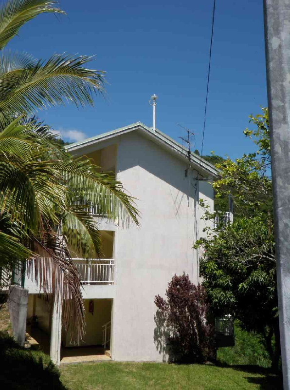
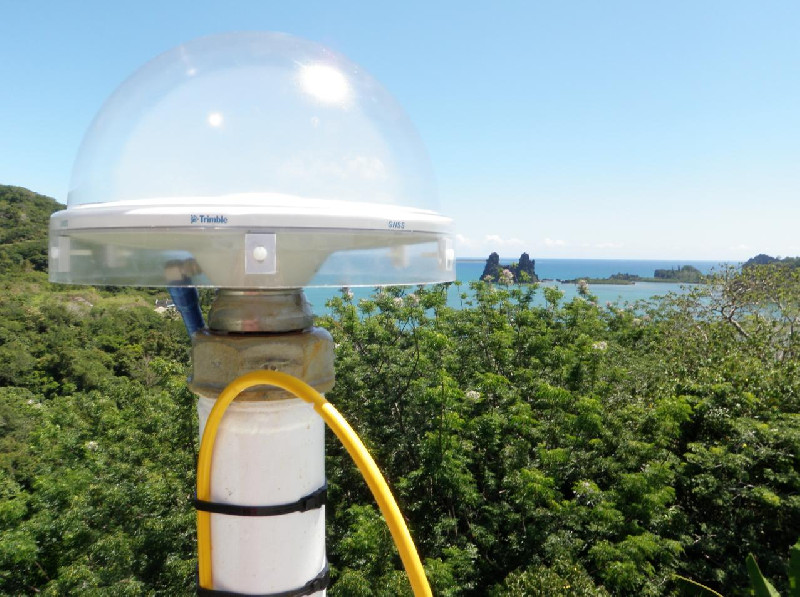
Photo albumHGHN
BibliographyHGHN
If you have a relevant reference to suggest, please send-us an e-mail : sonel@sonel.org-
 Ballu, Gravelle et al., 2019. Vertical land motion in the Southwest and Central Pacific from available GNSS solutions and implications for relative sea levels. Geophysical Journal International.


