
SANTANDER
Contributing agency

Station summaryCANT


| IGS-type acronym : | CANT00ESP |
| Latitude : | 43.47197971 |
| Longitude : | -3.79806397 |
| Installed date : | 2000-03-11 |
| Decommissioned date : | |
| Country : | SPAIN |
| City: | SANTANDER |
| Station status : | active (green) |
| Distance to Tide Gauge (m) : | 1329 |
| Domes Nr.: | 13438M001 |
| Station operator: | Unknown |
| IGS-like station form : |
GPS position times seriesCANT
Position
(Reference epoch: )
(Reference epoch: )
Offsets (mm)
| M | Material change or malfunction |
| E | Earthquake |
| RF | Reference Frame change |
| U | Unknown |
| NA | Not available |
| Position discontinuity | |
| Velocity discontinuity |
Data available at SONELCANT
Quality plots on RINEX filesCANT
 |
 |
Plots generated using software developed with the EPN team at ROB |
| Observations & tracking performance | Satellite tracking |
 (this operation may take 20 to 45s)
The satellite tracking graph has been calculated for all stations for the first day of each month. If you wish to have a graph for another date, choose the 'Calculate a specific date' option.
Comparison with satellite altimetry data
- Link to Sea Level Differences (Satellite altimetry minus tide gauge data).
Co-located instrumentsCANT
- Tide gauge : SANTANDER 3 (SANTA)
- Tide gauge : SANTANDER 1 (SANT1)
- Tide gauge : SANTANDER 2 (SANT2)
Leveling & DatumsCANT
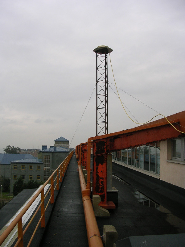
Photo albumCANT

BibliographyCANT
If you have a relevant reference to suggest, please send-us an e-mail : sonel@sonel.org-
 Marcos, Puyol et al., 2020. Historical tide gauge sea-level observations in Alicante and Santander (Spain) since the 19th century. Geoscience Data Journal.


