
MBARARA
Contributing agency

Station summaryMBAR


| IGS-type acronym : | MBAR00UGA |
| Latitude : | -0.60146898 |
| Longitude : | 30.73789978 |
| Installed date : | 2001-03-20 |
| Decommissioned date : | |
| Country : | UGANDA |
| City: | MBARARA |
| Station status : | active (green) |
| Domes Nr.: | 33901M001 |
| Station operator: | Unknown |
| IGS-like station form : |
GPS position times seriesMBAR
Position
(Reference epoch: )
(Reference epoch: )
Offsets (mm)
| M | Material change or malfunction |
| E | Earthquake |
| RF | Reference Frame change |
| U | Unknown |
| NA | Not available |
| Position discontinuity | |
| Velocity discontinuity |
Data available at SONELMBAR
Quality plots on RINEX filesMBAR
 |
 |
Plots generated using software developed with the EPN team at ROB |
| Observations & tracking performance | Satellite tracking |
 (this operation may take 20 to 45s)
The satellite tracking graph has been calculated for all stations for the first day of each month. If you wish to have a graph for another date, choose the 'Calculate a specific date' option.
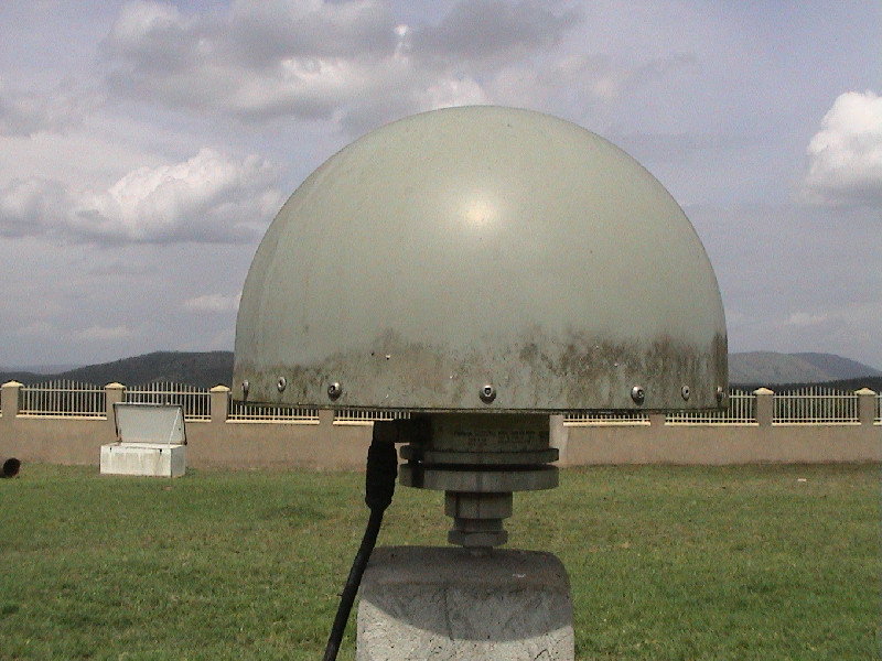
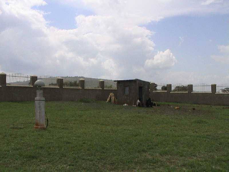
Photo albumMBAR
Log bookMBAR
[IGSSTATION-7487] - 2018-12-10 (12/12/2018)
The receiver at station MBAR was changed from a Javad TRE_G3TH Delta to a Javad TRE_3 Delta on 2018-10-30T09:00Z. The receiver's firmware was also upgraded from 3.7.1p to 3.7.4 today (2018-12-10T19:00Z).
Publication has now resumed and includes backlogged data to 2018-10-30. An updated site log has been posted.


