
SHEDIAC
Contributing agency

Station summarySHE2


| IGS-type acronym : | SHE200CAN |
| Latitude : | 46.22069931 |
| Longitude : | -64.55200195 |
| Installed date : | 2006-11-02 |
| Decommissioned date : | |
| Country : | CANADA |
| City: | SHEDIAC |
| Station status : | active (green) |
| Distance to Tide Gauge (m) : | 1200 |
| Domes Nr.: | 40169M002 |
| Station operator: | Unknown |
| IGS-like station form : |
GPS position times seriesSHE2
(Reference epoch: )
| M | Material change or malfunction |
| E | Earthquake |
| RF | Reference Frame change |
| U | Unknown |
| NA | Not available |
| Position discontinuity | |
| Velocity discontinuity |
Data available at SONELSHE2
Quality plots on RINEX filesSHE2
 |
 |
Plots generated using software developed with the EPN team at ROB |
| Observations & tracking performance | Satellite tracking |
 (this operation may take 20 to 45s)
The satellite tracking graph has been calculated for all stations for the first day of each month. If you wish to have a graph for another date, choose the 'Calculate a specific date' option.
Co-located instrumentsSHE2
- Tide gauge : SHEDIAC BAY (SHETG)
- Tide gauge : POINTE-DU-CHENE (PTECH)
Leveling & DatumsSHE2
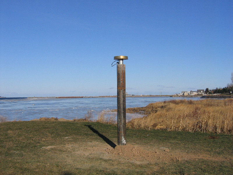
Photo albumSHE2
Log bookSHE2
[IGSSTATION-7623] - 2019-04-04 (09/05/2019)
Firmware for the Trimble NetR8 receiver at this station was updated from 4.48 to 48.01 on 2019-03-31T01:09Z. An updated site log has been submitted to the IGS.
[IGSSTATION-5494] - 2013-08-13 (13/08/2013)
Communications to SHE2 were lost on Day 221 (Friday August 9). Our local contact is investigating further. The problem may be due to a short in the main electrical panel of the municipal pumping station where SHE2 is housed. It is possible some of the GPS equipment may have damaged. I will advise when more is known.
[IGSSTATION-5102] - 2012-09-25 (25/09/2012)
Site ID: SHE2
DOMES No: 40169M002
Location: Shediac, New Brunswick, Canada
Agency: Natural Resources Canada (NRCan), Geodetic Survey Division
The Ashtech Micro-Z receiver at SHE2 stopped tracking at 11:12 UT on 2012-09-23 (Day 267). We are investigating the cause and will advise when we have more information.


