
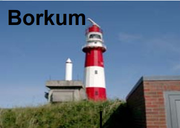
BORKUM
Contributing agency

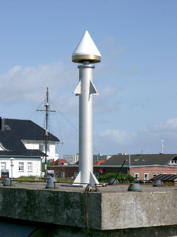
Station summaryBORJ


| IGS-type acronym : | BORJ00DEU |
| Latitude : | 53.57888300 |
| Longitude : | 6.66644200 |
| Installed date : | 2005-06-09 |
| Decommissioned date : | |
| Country : | GERMANY |
| City: | BORKUM |
| Station status : | active (green) |
| Distance to Tide Gauge (m) : | 200 |
| Domes Nr.: | 14268M002 |
| Station operator: | (BKG) - Bundesamt für Kartographie und Geodäsie |
| IGS-like station form : |
GPS position times seriesBORJ
(Reference epoch: )
| M | Material change or malfunction |
| E | Earthquake |
| RF | Reference Frame change |
| U | Unknown |
| NA | Not available |
| Position discontinuity | |
| Velocity discontinuity |
Data available at SONELBORJ
Quality plots on RINEX filesBORJ
 |
 |
Plots generated using software developed with the EPN team at ROB |
| Observations & tracking performance | Satellite tracking |
 (this operation may take 20 to 45s)
The satellite tracking graph has been calculated for all stations for the first day of each month. If you wish to have a graph for another date, choose the 'Calculate a specific date' option.
Comparison with satellite altimetry data
- Link to Sea Level Differences (Satellite altimetry minus tide gauge data).
Co-located instrumentsBORJ
- GPS : Borkum-Fischerbalje (BORK)
- GPS : Tide gauge Borkum-Fischerbalje (TGBF)
- Tide gauge : BORKUM FISHERBALJE (BORTG)
- Tide gauge : BORKUM - SUDSTRAND (BKSUD)
- GPS : SÜDSTRAND (TGBS)
Leveling & DatumsBORJ
Photo albumBORJ

BibliographyBORJ
If you have a relevant reference to suggest, please send-us an e-mail : sonel@sonel.org-
 Esselborn, Schöne et al., 2022. Validation of Recent Altimeter Missions at Non-Dedicated Tide Gauge Stations in the Southeastern North Sea. Remote Sensing.


Log bookBORJ
[EUREFmail-9379] - 2018-04-26 (15/05/2018)
Yesterday (2018-04-25) at station BORJ 14268M002 we changed the
antenna (LEIAR25.R3 to LEIAR25.R4) and the firmware of the receiver.
2 antenna calibration sets are available: ROBOTER and CHAMBER.
The ATX Files were sent to EPN CB.
Le 09/032010 (29/07/2010)
Author: Gunter Liebsch (BKG). BORJ becomes part of the EPN network and has replaced the former station BORK. The new GNSS station is about 7km away from the old one and therefore also from the tide gauge "Borkum-Fischerbalje". There is another tide gauge very close (about 200m) to BORJ, the tide gauge "Borkum-Suedstrand". The tide gauge “Borkum-Suedstrand” is located offshore on a tower and has no fixed connection to the island. On the web site: http://www.pegelonline.wsv.de/gast/karte/barrierefrei
On our website http://www.bkg.bund.de/nn_173560/geodIS/GREF/DE/07Stationen/stanetz__stainfo__node.html__nnn=true
we provide some information about our GNSS station Borkum (BORJ).


