
SWANSEA
Contributing agency

Station summarySWAS


| IGS-type acronym : | SWAS00GBR |
| Latitude : | 51.56553611 |
| Longitude : | -3.98176111 |
| Installed date : | 2009-08-14 |
| Decommissioned date : | 2024-12-04 |
| Country : | UK |
| City: | SWANSEA |
| Station status : | Decommissioned (white and red cross) |
| Distance to Tide Gauge (m) : | 662 |
| Domes Nr.: | 19193M001 |
| Station operator: | (OS) - Ordnance Survey Geodesy and Positioning |
| IGS-like station form : |
GPS position times seriesSWAS
Position
(Reference epoch: )
(Reference epoch: )
Offsets (mm)
| M | Material change or malfunction |
| E | Earthquake |
| RF | Reference Frame change |
| U | Unknown |
| NA | Not available |
| Position discontinuity | |
| Velocity discontinuity |
Data available at SONELSWAS
Quality plots on RINEX filesSWAS
 |
 |
Plots generated using software developed with the EPN team at ROB |
| Observations & tracking performance | Satellite tracking |
 (this operation may take 20 to 45s)
The satellite tracking graph has been calculated for all stations for the first day of each month. If you wish to have a graph for another date, choose the 'Calculate a specific date' option.
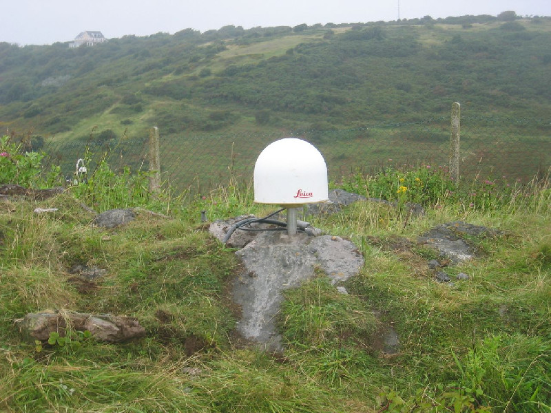
Photo albumSWAS
Log bookSWAS
[EUREFmail-9484] - 2018-07-24 (24/07/2018)
The receiver at station SWAS was changed last Friday 20th July from 'LEICA GRX1200 GNSS'to 'TRIMBLE ALLOY' but I mistakenly put SEPTENTRIO POLARX5 in the log file. A corrected log file has been submitted to the EPN.


