NEW ORLEANS
Contributing agency

Station summaryINRI


| IGS-type acronym : | INRI00USA |
| Latitude : | 29.93700833 |
| Longitude : | -90.11885000 |
| Installed date : | 2012-06-19 |
| Decommissioned date : | 2023-05-25 |
| Country : | U.S.A. |
| City: | NEW ORLEANS |
| Station status : | Decommissioned (white and red cross) |
| Distance to Tide Gauge (m) : | 9995 |
| Domes Nr.: | |
| Station operator: | (LSU-C4G) - Louisiana State University - Center for GeoInformatics |
| IGS-like station form : |
GPS position times seriesINRI
Position
(Reference epoch: )
(Reference epoch: )
Offsets (mm)
| M | Material change or malfunction |
| E | Earthquake |
| RF | Reference Frame change |
| U | Unknown |
| NA | Not available |
| Position discontinuity | |
| Velocity discontinuity |
Data available at SONELINRI
Quality plots on RINEX filesINRI
 |
 |
Plots generated using software developed with the EPN team at ROB |
| Observations & tracking performance | Satellite tracking |
 (this operation may take 20 to 45s)
The satellite tracking graph has been calculated for all stations for the first day of each month. If you wish to have a graph for another date, choose the 'Calculate a specific date' option.
Co-located instrumentsINRI
- Tide gauge : NEW CANAL STATION, LOUISIANA (INRTG)
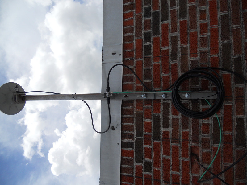
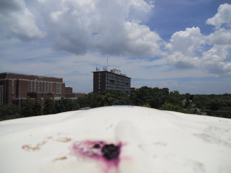
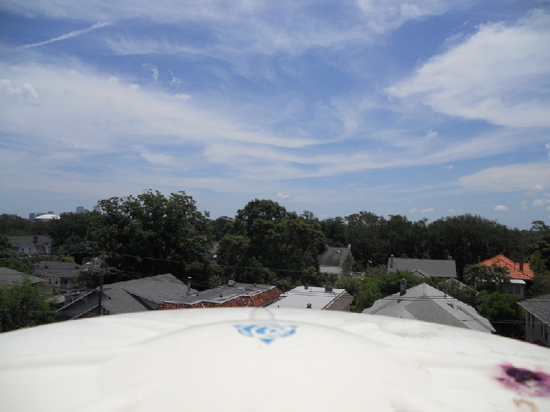
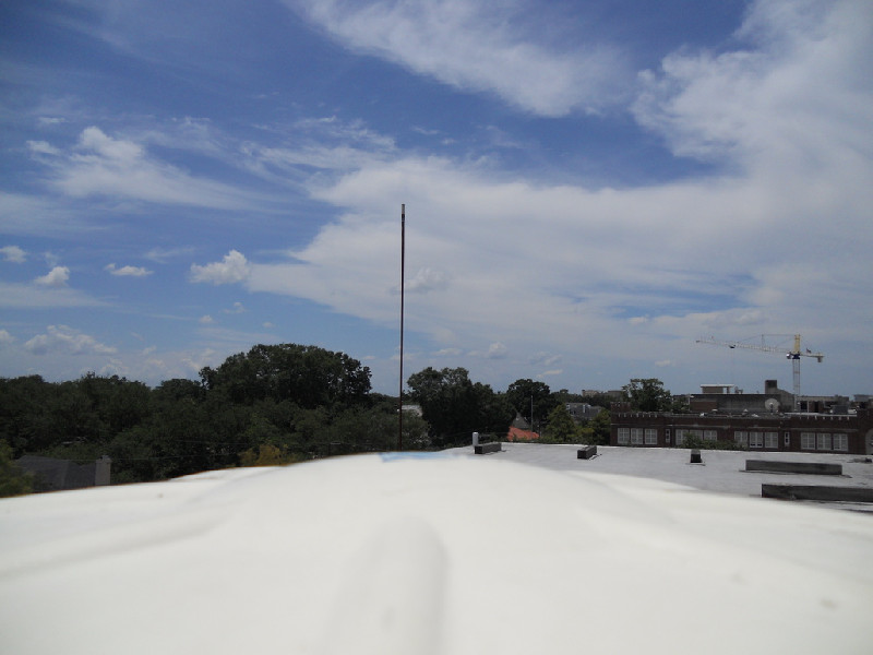
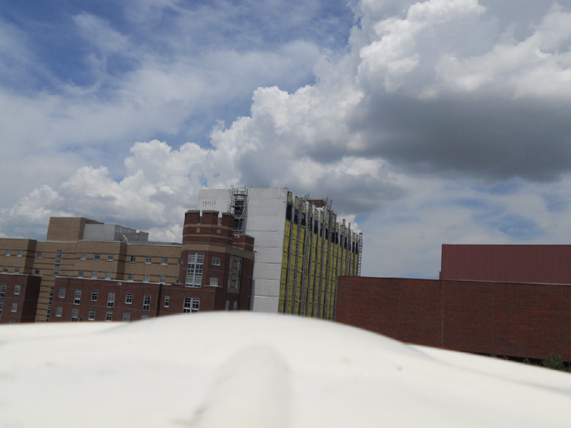
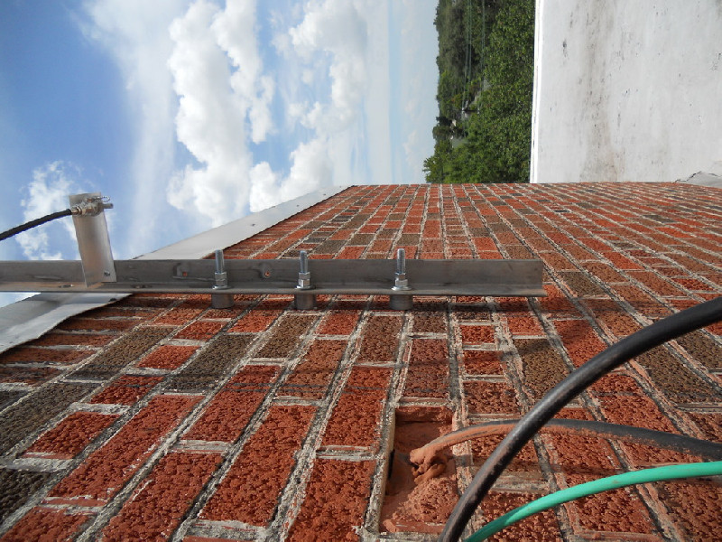
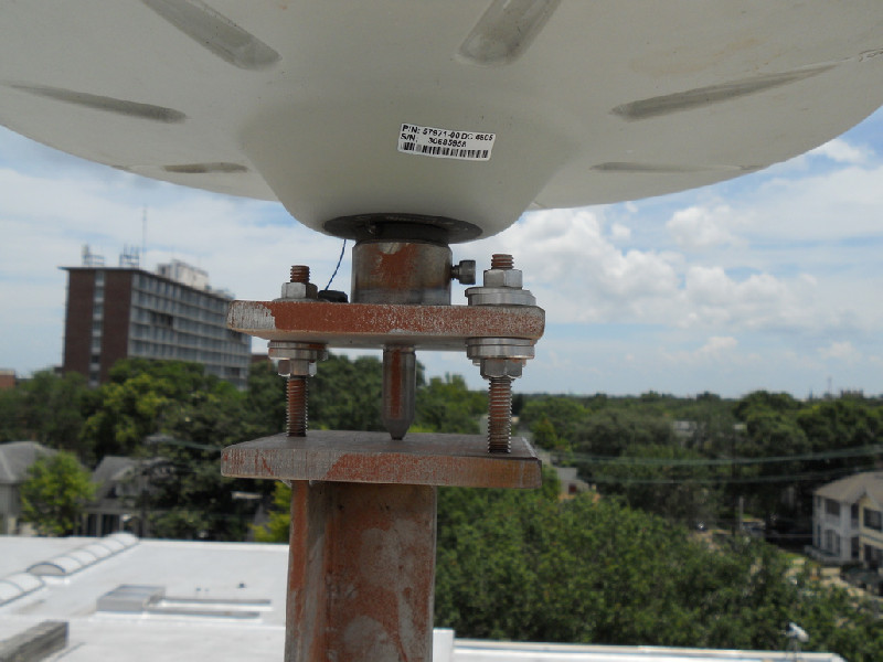
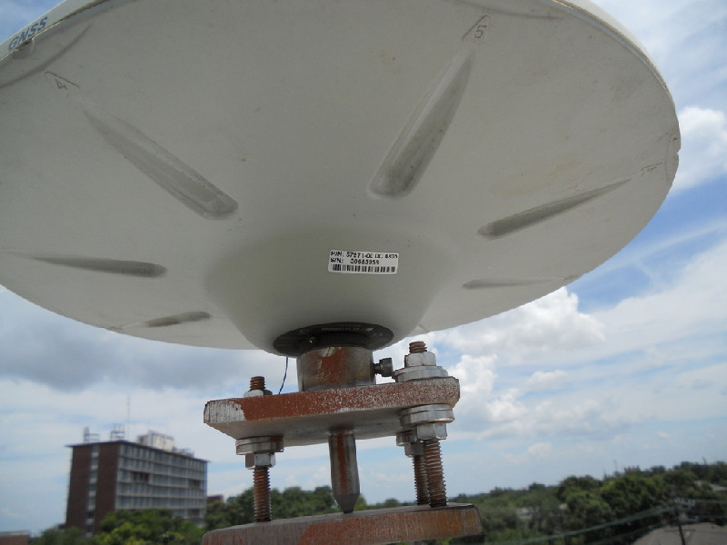
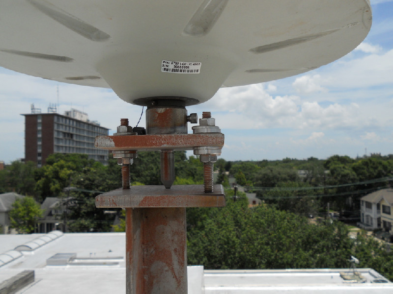
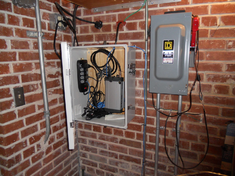
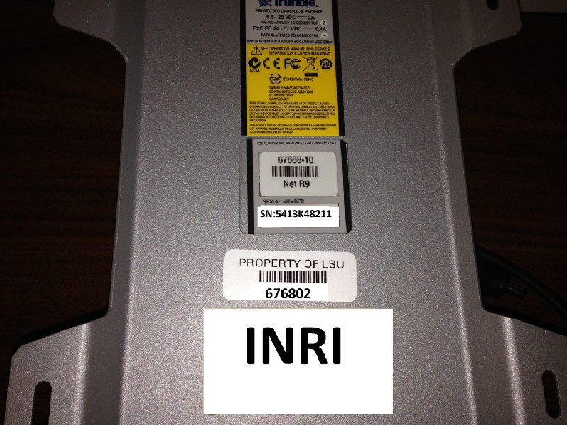
Photo albumINRI