
TONGA
Contributing agency

Station summaryTONG


| IGS-type acronym : | TONG00TON |
| Latitude : | -21.14471300 |
| Longitude : | -175.17922400 |
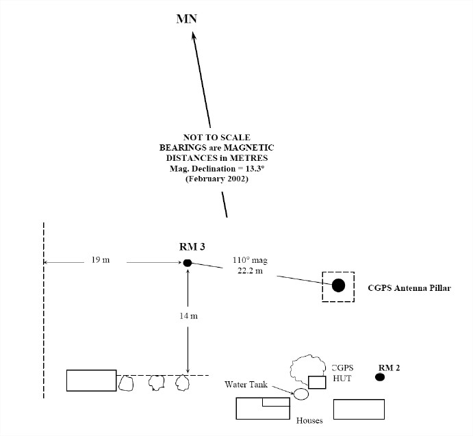
| Installed date : | 2002-02-18 |
| Decommissioned date : | |
| Country : | TONGA |
| City: | NUKU'ALOFA |
| Station status : | active (green) |
| Distance to Tide Gauge (m) : | 2430 |
| Domes Nr.: | 50902M001 |
| Station operator: | (GA) - Geoscience Australia |
| IGS-like station form : |
GPS position times seriesTONG
(Reference epoch: )
| M | Material change or malfunction |
| E | Earthquake |
| RF | Reference Frame change |
| U | Unknown |
| NA | Not available |
| Position discontinuity | |
| Velocity discontinuity |
Data available at SONELTONG
Quality plots on RINEX filesTONG
 |
 |
Plots generated using software developed with the EPN team at ROB |
| Observations & tracking performance | Satellite tracking |
 (this operation may take 20 to 45s)
The satellite tracking graph has been calculated for all stations for the first day of each month. If you wish to have a graph for another date, choose the 'Calculate a specific date' option.
Comparison with satellite altimetry data
- Link to Sea Level Differences (Satellite altimetry minus tide gauge data).
Co-located instrumentsTONG
- Tide gauge : NUKU'ALOFA B (TONTG)
- GPS : Tonga Tide Gauge (TOGT)
Leveling & DatumsTONG
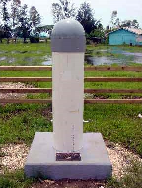
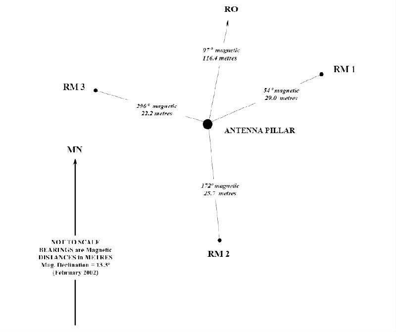
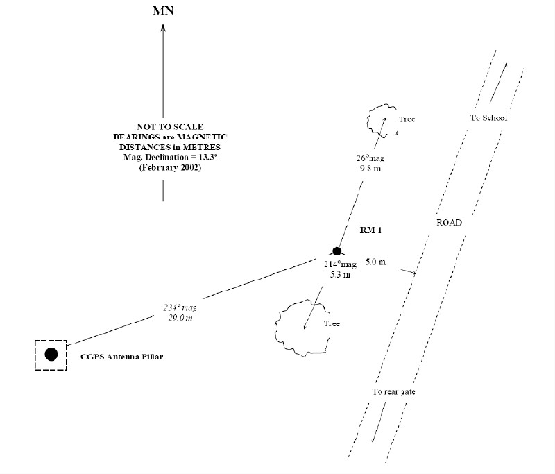
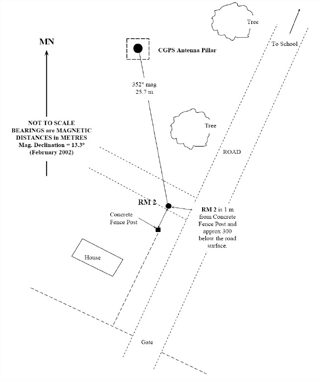
Photo albumTONG
BibliographyTONG
If you have a relevant reference to suggest, please send-us an e-mail : sonel@sonel.org-
 A.-Martínez-Asensio, G.-Wöppelmann et al., 2019. Relative sea-level rise and the influence of vertical land motion at Tropical Pacific Islands. Global and Planetary Change.


-
Ballu, Gravelle et al., 2019. Vertical land motion in the Southwest and Central Pacific from available GNSS solutions and implications for relative sea levels. Geophysical Journal International.
-
FUKUYO, CLARK et al., 2020. Holocene sea level reconstruction using lagoon specific local marine reservoir effect and geophysical modeling in Tongatapu, Kingdom of Tonga. Quaternary Science Reviews.
Log bookTONG
[IGSSTATION-7232] - 2018-02-15 (26/02/2018)
Due to damage from cyclone Gita the station TONG in Nuku'alofa, Tonga is offline. Further information will be available once we are able to get someone to assess the damage.
Enquires:
For further information please contact geodesy@ga.gov.au.
[IGSSTATION-6815] - 2016-10-11 (11/10/2016)
The antenna at the IGS station TONG has failed. As a result there will be no data products available from this station until we can arrange for a new antenna to be installed.
[IGSSTATION-6815] - 2016-10-11 (11/10/2016)
The antenna at the IGS station TONG has failed. As a result there will be no data products available from this station until we can arrange for a new antenna to be installed.


