
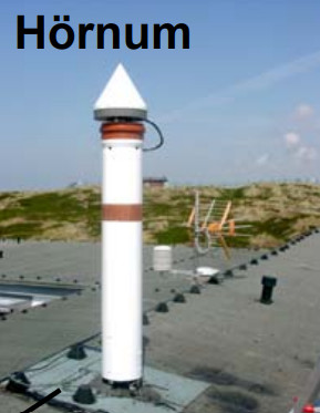
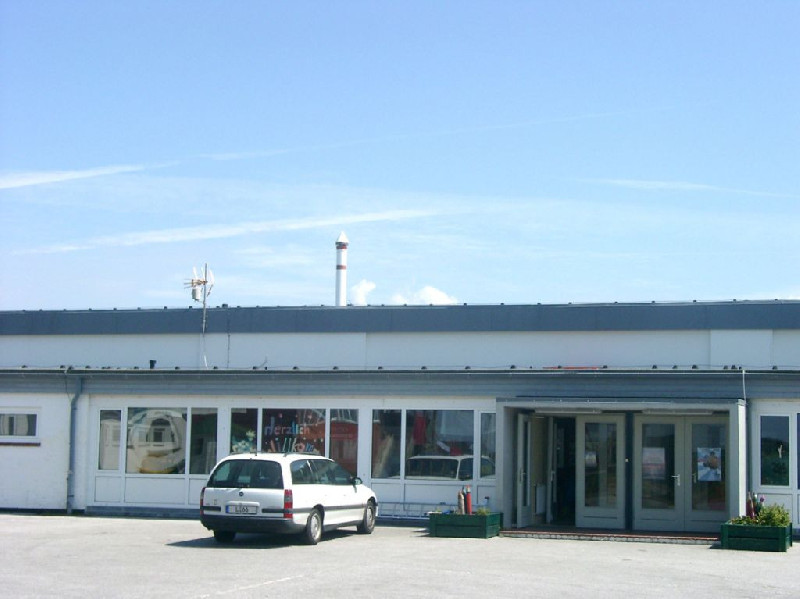
HORNUM
Contributing agency

Station summaryHOE2


| IGS-type acronym : | HOE200DEU |
| Latitude : | 54.75870132 |
| Longitude : | 8.29339027 |
| Installed date : | 2005-07-01 |
| Decommissioned date : | 2015-05-22 |
| Country : | GERMANY |
| City: | HOERNUM |
| Station status : | Decommissioned (white and red cross) |
| Distance to Tide Gauge (m) : | 182 |
| Domes Nr.: | 14284M002 |
| Station operator: | (BKG) - Bundesamt für Kartographie und Geodäsie |
| IGS-like station form : |
GPS position times seriesHOE2
Position
(Reference epoch: )
(Reference epoch: )
Offsets (mm)
| M | Material change or malfunction |
| E | Earthquake |
| RF | Reference Frame change |
| U | Unknown |
| NA | Not available |
| Position discontinuity | |
| Velocity discontinuity |
Data available at SONELHOE2
Quality plots on RINEX filesHOE2
 |
 |
Plots generated using software developed with the EPN team at ROB |
| Observations & tracking performance | Satellite tracking |
 (this operation may take 20 to 45s)
The satellite tracking graph has been calculated for all stations for the first day of each month. If you wish to have a graph for another date, choose the 'Calculate a specific date' option.
Co-located instrumentsHOE2
- GPS : Hoernum / Island Sylt (HOER)
- Tide gauge : HORNUM (HOETG)
- GPS : Rantum / Island Sylt (RANT)
Photo albumHOE2
Log bookHOE2
[EUREFmail-7945] - 2015-05-13 (29/03/2017)
Station HOE2 (Island of Sylt) will be closed next week (18.-22.05.2015) due to changes of the building there the antenna-mast is fastened.
BKG has installed a new Permanent GNSS Station RANT 10914001 at the Island of Sylt, about 7 km north to the HOE2.


