
LE_CONQUET
Contributing agency

Station summaryLPPZ


| IGS-type acronym : | LPPZ00FRA |
| Latitude : | 48.44626000 |
| Longitude : | -4.76039900 |
| Installed date : | 2007-11-06 |
| Decommissioned date : | |
| Country : | FRANCE |
| City: | LE_CONQUET |
| Station status : | active (green) |
| Distance to Tide Gauge (m) : | 9811 |
| Domes Nr.: | 19878M001 |
| Station operator: | Unknown |
| IGS-like station form : |
GPS position times seriesLPPZ
Position
(Reference epoch: )
(Reference epoch: )
Offsets (mm)
| M | Material change or malfunction |
| E | Earthquake |
| RF | Reference Frame change |
| U | Unknown |
| NA | Not available |
| Position discontinuity | |
| Velocity discontinuity |
Data available at SONELLPPZ
Quality plots on RINEX filesLPPZ
 |
 |
Plots generated using software developed with the EPN team at ROB |
| Observations & tracking performance | Satellite tracking |
 (this operation may take 20 to 45s)
The satellite tracking graph has been calculated for all stations for the first day of each month. If you wish to have a graph for another date, choose the 'Calculate a specific date' option.
Comparison with satellite altimetry data
- Link to Sea Level Differences (Satellite altimetry minus tide gauge data).
Co-located instrumentsLPPZ
- Tide gauge : LE_CONQUET (LCONQ)
Leveling & DatumsLPPZ
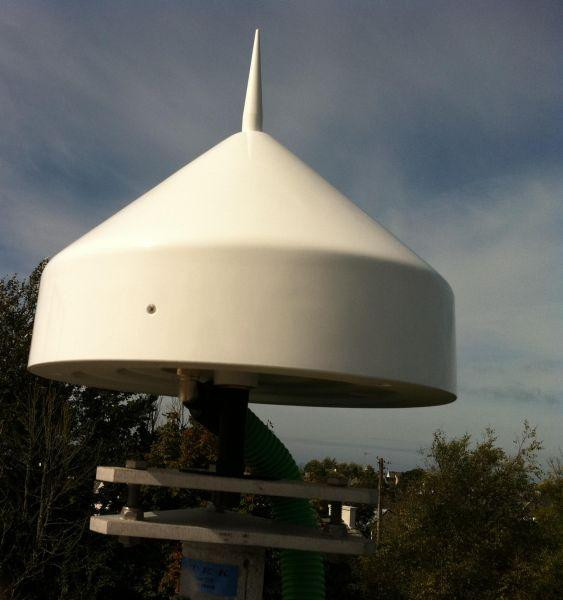
Photo albumLPPZ
BibliographyLPPZ
If you have a relevant reference to suggest, please send-us an e-mail : sonel@sonel.org-
 Dodet, Bertin et al., 2019. Characterization of Sea-level Variations Along the Metropolitan Coasts of France: Waves, Tides, Storm Surges and Long-term Changes.


Log bookLPPZ
[RGPmail] - 2017-08-04 (04/08/2017)
The dataflow for LPPZ station restarted at session 2017-191i. Missing data ar definitely lost.
[RGPmail] - 2017-07-05 (05/07/2017)
The dataflow for LPPZ station stopped at 2017-160g.
The delay for recovering normal dataflow is unknown.


